204 trails · 204 total activities recorded

The Pyrénées-Atlantiques offer rare diversity across 7,645 km²: Basque Country on the Atlantic side, Béarn and its valleys (Aspe, Ossau, Barétous) in the heart of the western Pyrenees. The Pic du Midi d'Ossau (2,884 m) is the Béarn icon, with its distinctive molar-tooth silhouette. On the Basque side, La Rhune (905 m) and the Pic d'Anie (2,504 m) draw hikers. The GR 10 starts at Hendaye and crosses the entire département toward the Hautes-Pyrénées. The HRP (Pyrenean High Route) parallels it at altitude.
Pau and Bayonne are served by the Atlantic TGV. The Béarnese valleys are accessible by car from Pau (1h to Laruns in the Ossau valley).
Best season: May to October on the Basque side (mild Atlantic climate), June to October on the Béarn side (high altitude). Atlantic humidity is constant in the Basque Country — weather changes fast, dress for it even on mild days. Valley walks are doable year-round.
The 73 routes we offer will grow over time. From the Basque coastal trail to ascents of the Pic du Midi d'Ossau, they cover the département's spectrum.
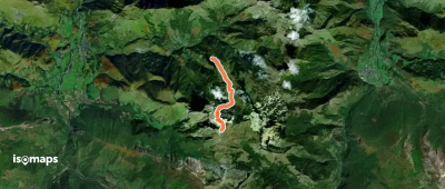

Chardekagagna, France
12,00 km +860 m 2h 25min
Moderate
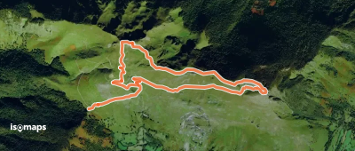
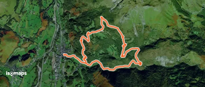
Pic Angoustise, France
15,63 km +1 106 m 4h 35min
Moderate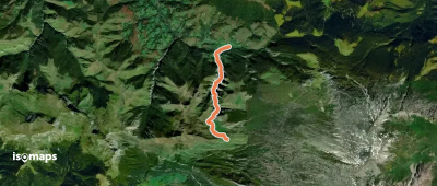
Try Isomaps free for 7 days. Available on iOS and Android.
