Hiking in Savoie

543 trails · 543 total activities recorded

Map of Savoie

Savoie packs into 6,028 km² an exceptional range of Alpine massifs: the Vanoise and France's first national park, the Beaufortain with its iconic passes, the Lauzière, parts of the Bauges, and the Savoie side of Belledonne. The Grande Casse (3,855 m) is the highest peak. The département is crossed by the GR 5, the GR 55 (full traverse of the Vanoise), and the Tour des Glaciers de la Vanoise — reference routes for long-distance Alpine hiking.

Access is easy: Chambéry and Albertville are served by TGV from Paris (3h) and Lyon (1h30). The Tarentaise and Maurienne valleys are reachable by TER + bus. Resorts like Val Cenis, Tignes or Pralognan open their cable cars in summer for quick altitude gain.

Best season: late June to mid-October. High-altitude trails often clear of snow late, and some passes (Vanoise, Iseran) may remain impassable until mid-July depending on the year. Always check the weather forecast and conditions of the day. September usually offers the finest conditions: cleared trails, herds back in the valleys, lower crowds, and exceptional light on the glaciers.

The 674 routes we offer span all of Savoie, from family walks around Lake Aiguebelette to committing traverses through the Vanoise and Beaufortain.
Top trails

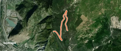
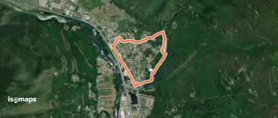
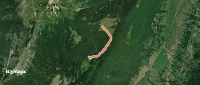
Les Chalets de la Fullie

Sainte-Reine, France

1,35 km +208 m 35min

Very easy
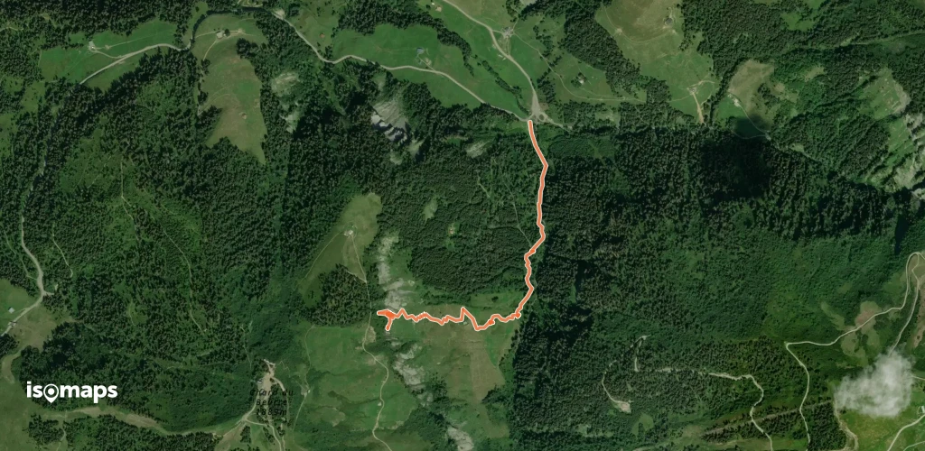
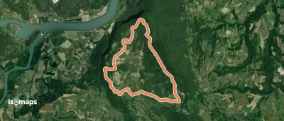
Les Balcons de Saint-Maurice-de-Rotherens

Gresin, France

10,59 km +371 m 2h 50min

Easy
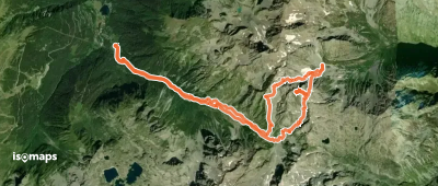
Montricher petite boucle

Les Karellis, France

6,86 km +513 m 2h 55min

Moderate
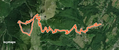
S12 - De Grenis à Montdenis

Saint-Jean-de-Maurienne, France

2,97 km +444 m 1h 55min

Moderate
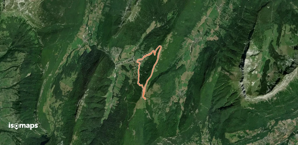
Plan Dernier - Cascade de plan dernier

Chard du Beurre, France

2,00 km +458 m 1h 0min

Moderate
Bec d'Arguille - Tour : Brèche SE → Passage Brabant

Bec d'Arguille, France

17,17 km +2 264 m 6h 20min

Moderate
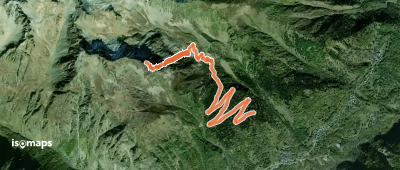
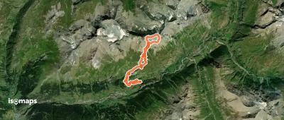
Couloir Nord-Est du Pic de Fremezan

Saint-Colomban-des-Villards, France

5,82 km +1 043 m 2h 20min

Hard
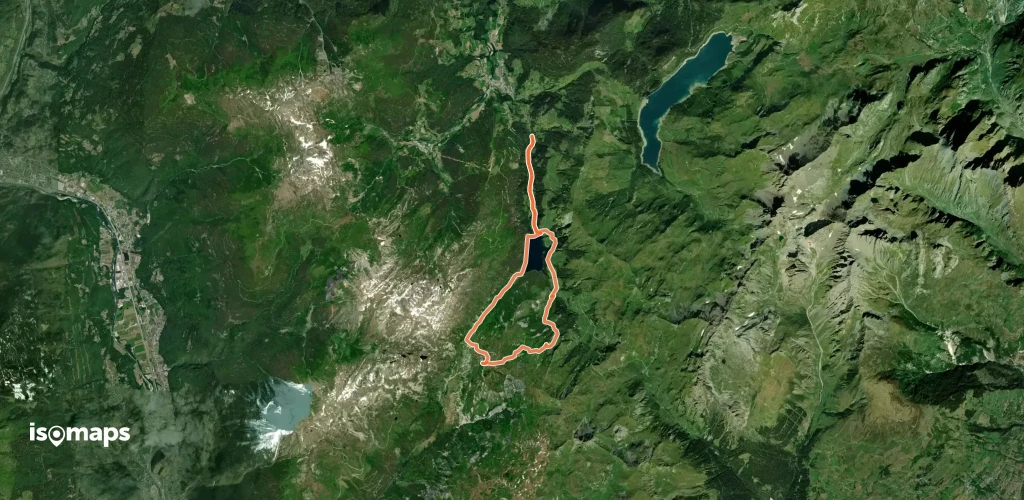
Pointe du Riondet, combe nord est

Arêches, France

16,49 km +1 221 m 4h 10min

Easy
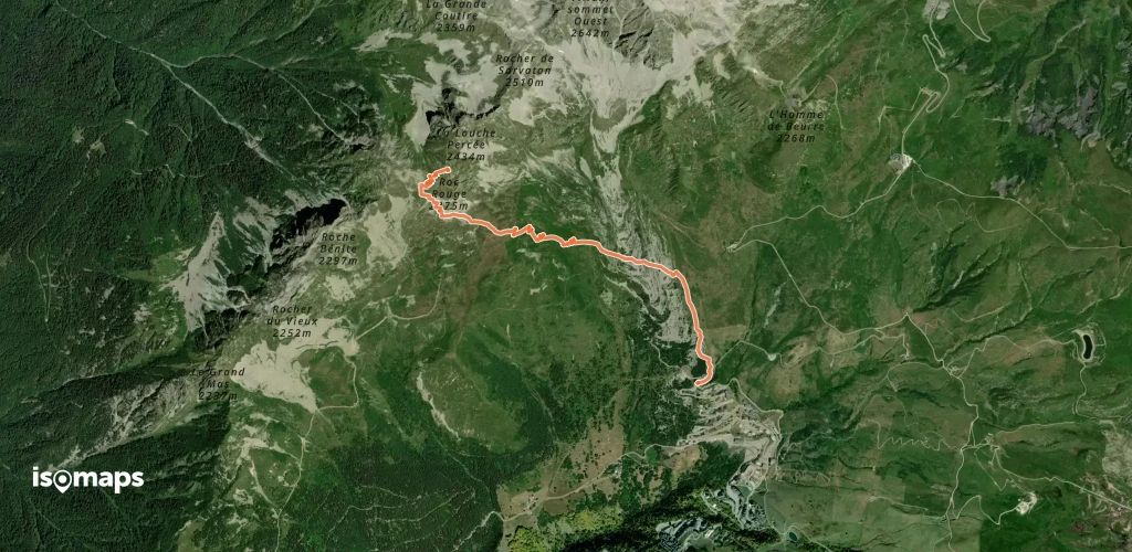
Roc Rouge, De St François Longchamp

Longchamp 1650, France

3,41 km +712 m 1h 40min

Moderate
Pointe de la Fougère

Le Grand Roc, France

10,20 km +1 513 m 9h 0min

Very hard
B11 - Les Hauts de Tourmentier

Claret, France

8,86 km +931 m 5h 15min

Hard
OSM Route 4635417
OSM Route 4635417

Dents d'Ambin, Italie

7,25 km +392 m 3h 35min

Moderate
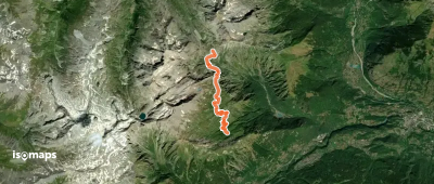
Pointe SW du Châtelard - Couloir S

Le Clot, France

15,05 km +1 355 m 4h 30min

Hard
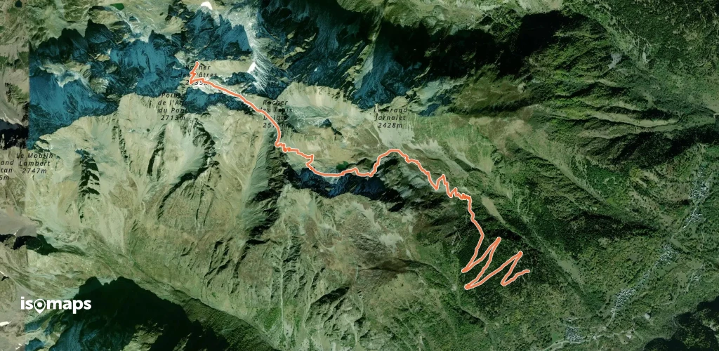
Rocher des Pâtres, versant S depuis la route de Fremezan

Saint-Colomban-des-Villards, France

8,01 km +1 351 m 3h 25min

Easy
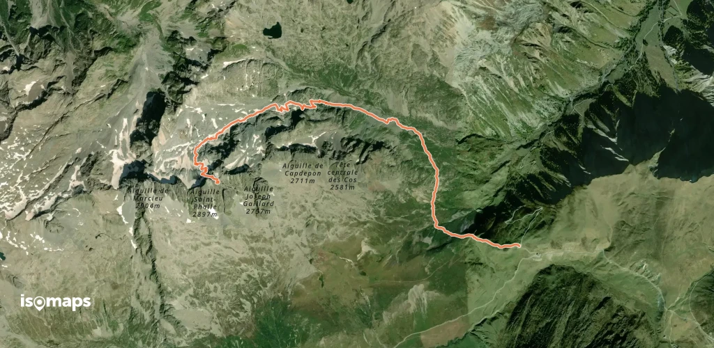
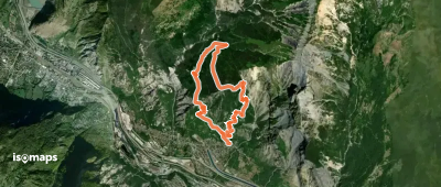
Randonnée en forêt sur les hauteurs de Grignon

Albertville, France

9,49 km +1 052 m 5h 25min

Hard
Aiguille d'Olle, couloir NW par la Combe de la Croix

Col du Glandon, France

5,57 km +1 174 m 2h 40min

Moderate
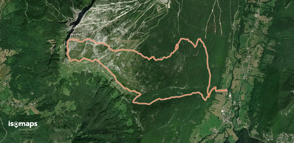
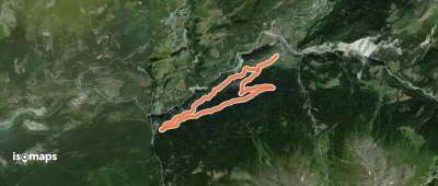
Mont Margeriaz, par col de la Verne

Aillon-le-Jeune, France

12,07 km +1 016 m 2h 45min

Very easy
Les Forts de l'Esseillon

Bramans, France

8,58 km +553 m 3h 40min

Moderate
Chapelle Saint-Clément

Tours-en-Savoie, France

3,57 km +139 m 1h 0min

Very easy
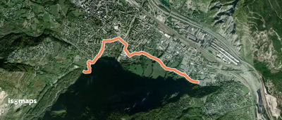
L06 - Boucle du Mont l'Évêque - Traversée de Saint-Jean-de-Maurienne

Saint-Jean-de-Maurienne, France

3,17 km +49 m 40min

Very easy
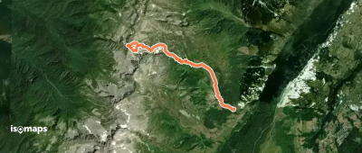
Lanslevillard - Ruisseau du Chatel

Lanslevillard, France

359 m +277 m 5min

Moderate
Pointe St-Jacques, couloir NE

Celliers, France

5,79 km +1 193 m 3h 10min

Hard
Mont Morbié, Par Aillon station (Les Ginets)

La Correrie, France

6,97 km +635 m 2h 10min

Very easy
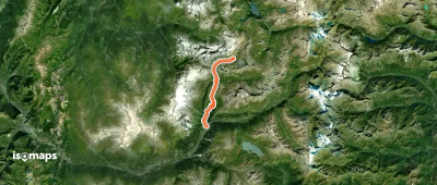
Via Alpina Red R123
Via Alpina Red R123

Grande Motte, France

20,52 km +551 m 7h 25min

Hard

Ready for your next adventure?

Try Isomaps free for 7 days. Available on iOS and Android.

Download on iOS Download on Android APK (Google-free)
Isomaps Your outdoor outings, anywhere, even offline
Install Install