533 trails · 533 total activities recorded

Savoie packs into 6,028 km² an exceptional range of Alpine massifs: the Vanoise and France's first national park, the Beaufortain with its iconic passes, the Lauzière, parts of the Bauges, and the Savoie side of Belledonne. The Grande Casse (3,855 m) is the highest peak. The département is crossed by the GR 5, the GR 55 (full traverse of the Vanoise), and the Tour des Glaciers de la Vanoise — reference routes for long-distance Alpine hiking.
Access is easy: Chambéry and Albertville are served by TGV from Paris (3h) and Lyon (1h30). The Tarentaise and Maurienne valleys are reachable by TER + bus. Resorts like Val Cenis, Tignes or Pralognan open their cable cars in summer for quick altitude gain.
Best season: late June to mid-October. High-altitude trails often clear of snow late, and some passes (Vanoise, Iseran) may remain impassable until mid-July depending on the year. Always check the weather forecast and conditions of the day. September usually offers the finest conditions: cleared trails, herds back in the valleys, lower crowds, and exceptional light on the glaciers.
The 674 routes we offer span all of Savoie, from family walks around Lake Aiguebelette to committing traverses through the Vanoise and Beaufortain.
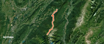
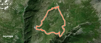
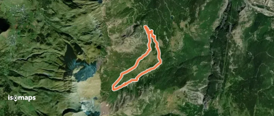
Col de la Croix du Bonhomme, France
6,58 km +217 m 3h 0min
Easy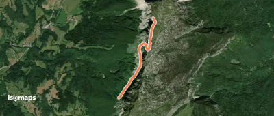
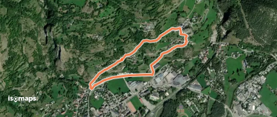
Mont Granier, France
2,12 km +436 m 1h 0min
Moderate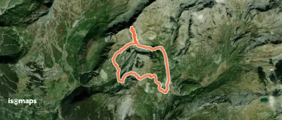
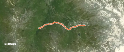
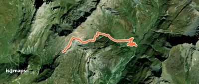
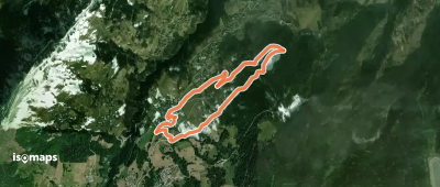
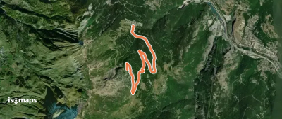
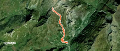
Sainte-Foy-Tarentaise, France
9,30 km +1 269 m 3h 40min
Easy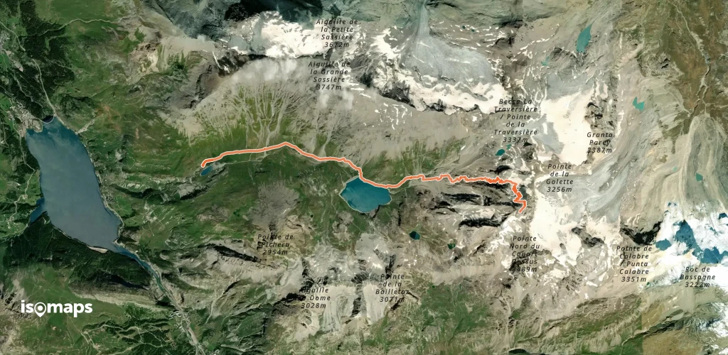
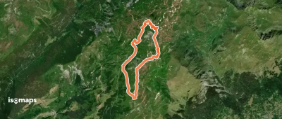
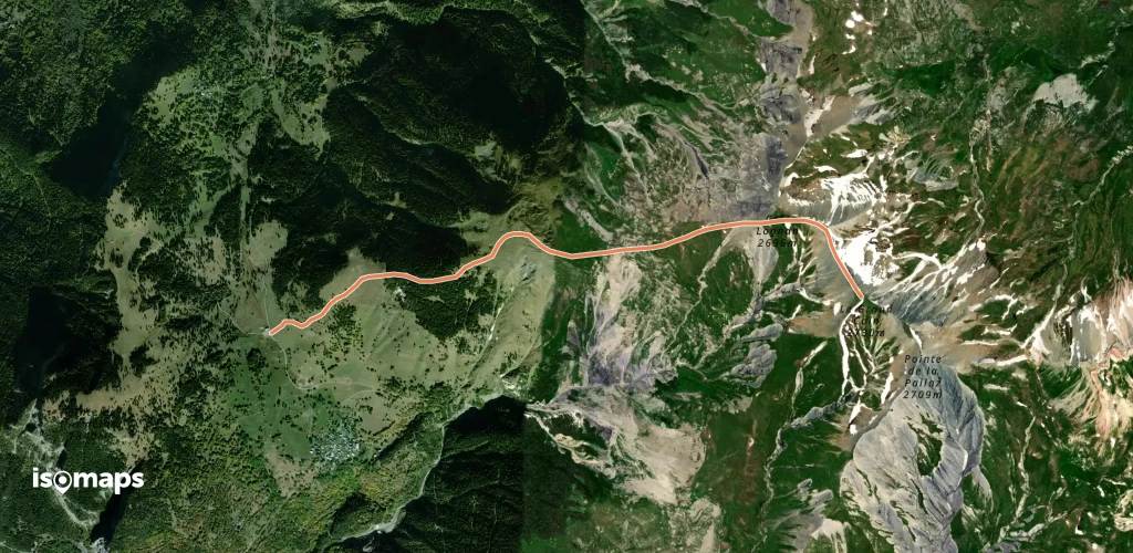
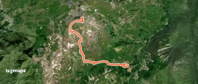
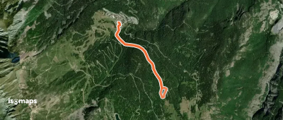
Bonneval-sur-Arc, France
14,41 km +1 386 m 4h 25min
Easy
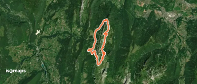
Col de la Croix du Bonhomme, France
5,67 km +37 m 2h 45min
Very easy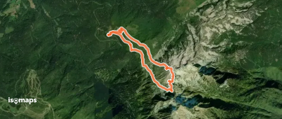
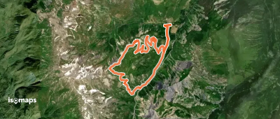
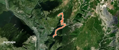
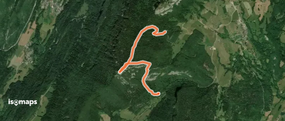
Les Grands Moulins, France
9,11 km +974 m 2h 40min
Moderate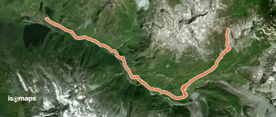
Try Isomaps free for 7 days. Available on iOS and Android.
