61 trails · 61 total activities recorded
The Var unfolds across 5,973 km² a unique Mediterranean mosaic: the Maures massif (cork-oak and pine forests), the Esterel and its red rhyolite cliffs facing the sea, the Sainte-Baume massif (shared with Bouches-du-Rhône) with its exceptional beech forest at altitude. Highest point: Mont Lachens (1,714 m), then Mont Caume and Mont Faron above Toulon. The département is crossed by the GR 9, GR 51 ("Sentier des Balcons de la Méditerranée") and GR 99.
Toulon is served by TGV from Paris (3h30) and Marseille (1h). The Var inland country (Aups, Comps, Bargème) is accessible by car.
Best season: October to May. Mediterranean summer makes hiking unpleasant due to heat and high wildfire risk (massifs often closed in July-August). The wildfire risk requires daily consultation of the départemental risk map in the dry season. Spring and autumn are ideal, with remarkable spring blooms.
The 24 routes we offer will grow over time. From the coastal trail to the Maures ridges, they cover the département's diversity.

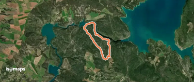
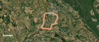
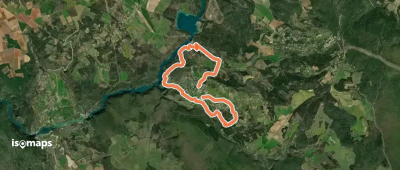
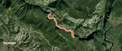
Esparron-de-Verdon, France
5,60 km +200 m 1h 50min
Easy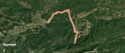
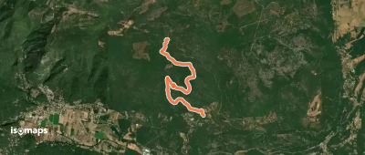
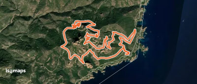
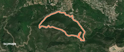
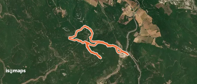
Pourrières, France
15,80 km +549 m 7h 35min
Moderate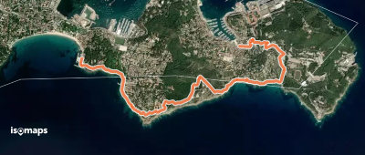
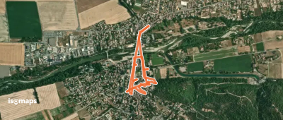
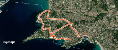
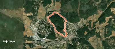
Saint-Mandrier-sur-Mer, France
6,03 km +291 m 2h 0min
Easy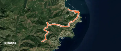
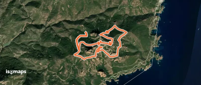
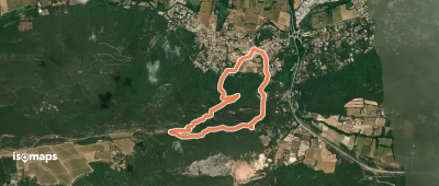

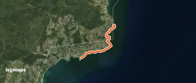
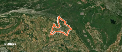
Les Issambres, France
4,38 km +121 m 2h 25min
Very easy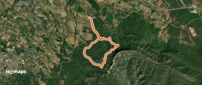
Try Iso Maps free for 7 days. Available on iOS and Android.
