Launch offer: subscribe before July 12 and lock in your price for life. See pricing

Hiking in the Dolomites

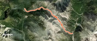
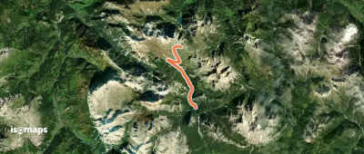
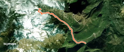
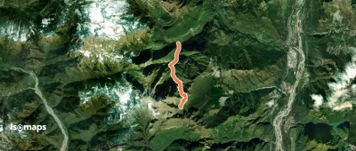
1,529 trails · 1529 total activities recorded

Map of Dolomites

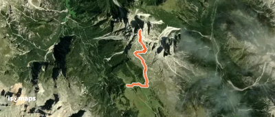
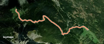
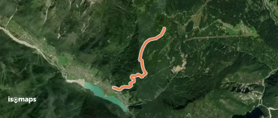
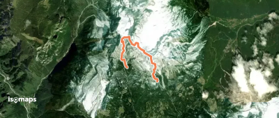
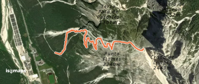
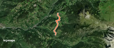
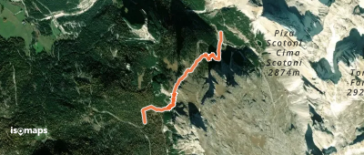
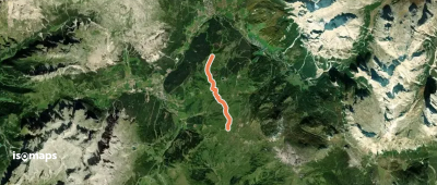
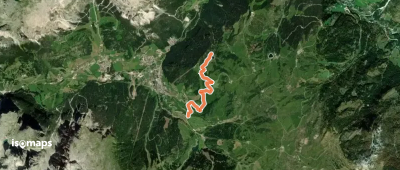
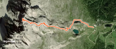
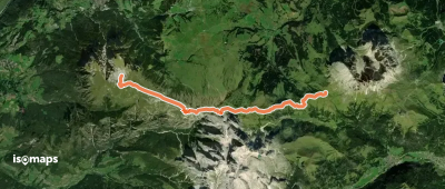
The Dolomites, UNESCO World Heritage since 2009, are arguably the most iconic massif of the Eastern Alps. Across 142,000 hectares they present a landscape unique in the world: dolomite towers and spires that shift colour from pink to orange at sunset, green high-altitude meadows, turquoise lakes (Lago di Sorapis, Lago di Braies). The Marmolada (3,343 m) is the rooftop, followed by Civetta, the Tre Cime di Lavaredo and Sassolungo. The Alte Vie ("high routes" 1 to 10) are the great multi-day itineraries.

Cortina d'Ampezzo, Bolzano and Trento are the main bases. Cortina is accessible by bus from Venice Mestre (2h30) or Calalzo (nearest train station). Resort villages like Selva, Corvara or Canazei are deep in the Dolomites.

Best season: mid-June to late September. High-altitude trails open from mid-June, and the season extends to late September with spectacular autumn colours on the larches. Watch for near-daily afternoon thunderstorms in July-August — start early and descend before 2 p.m.

This area is under construction on Isomaps. Feel free to contribute your own tracks to enrich our Dolomites map.

Top trails

OSM Route 2779209
OSM Route 2779209

Rocca Dei Baranci, Italie

8,85 km +937 m 5h 0min

Hard
OSM Route 2328870
OSM Route 2328870

Cascate di Fanes, Italie

11,39 km +1 006 m 3h 50min

Hard
OSM Route 1563617
OSM Route 1563617

Rifugio Sommariva al Pramperet, Italie

6,92 km +87 m 3h 10min

Very easy
OSM Route 1563613
OSM Route 1563613

Monte Pelf, Italie

5,15 km +376 m 3h 40min

Easy
OSM Route 1185345
OSM Route 1185345

Prato Piazza, Italie

4,15 km +852 m 2h 15min

Moderate
OSM Route 1116682
OSM Route 1116682

Croda Rossa, Italie

5,28 km +88 m 1h 50min

Very easy
Familienrundweg
Familienrundweg

Croda Rossa, Italie

2,30 km +118 m 45min

Very easy
OSM Route 17716351
OSM Route 17716351

Villapiccola, Italie

2,22 km +436 m 1h 15min

Easy
OSM Route 17716349
OSM Route 17716349

Villapiccola, Italie

4,23 km +604 m 1h 45min

Moderate
Ferrata Gianni Costantini

Rifugio Bruto Carestiato, Italie

4,21 km +1 146 m 4h 30min

Hard
Planetenweg - Sentiero dei pianeti

Collepietra, Italie

8,89 km +376 m 5h 5min

Easy
OSM Route 15999673
OSM Route 15999673

Auronzo di Cadore, Italie

2,17 km +228 m 1h 40min

Easy
Via Ferrata Strobel
Via Ferrata Strobel

Fiames, Italie

2,42 km +1 128 m 2h 5min

Hard
OSM Route 12076998
OSM Route 12076998

Moso, Italie

3,79 km +41 m 55min

Very easy
OSM Route 12012882
OSM Route 12012882

San Floriano, Italie

5,96 km +512 m 2h 30min

Moderate
OSM Route 11843673
OSM Route 11843673

Aica di Sopra, Italie

2,60 km +219 m 1h 15min

Easy
OSM Route 11840085
OSM Route 11840085

Fiè Allo Sciliar, Italie

6,27 km +468 m 2h 50min

Moderate
Rundweg Klosterwald
Rundweg Klosterwald

Castelbadia, Italie

6,65 km +269 m 2h 0min

Easy
OSM Route 9506592
OSM Route 9506592

Passo Valparola, Italie

2,71 km +334 m 1h 30min

Easy
Tru Panoramic
Tru Panoramic

La Villa, Italie

4,22 km +226 m 1h 20min

Very easy
OSM Route 9502644
OSM Route 9502644

Corvara, Italie

3,22 km +58 m 1h 0min

Very easy
OSM Route 9491410
OSM Route 9491410

Corvara, Italie

2,30 km +736 m 1h 40min

Moderate
OSM Route 9487014
OSM Route 9487014

Sasso Piatto, Italie

12,65 km +955 m 5h 5min

Hard
OSM Route 9441874
OSM Route 9441874

Kleine Fermeda, Italie

1,18 km +286 m 40min

Very easy

Ready for your next adventure?

Try Isomaps free for 7 days. Available on iOS and Android.

Download on iOS Download on Android APK (Google-free)
Isomaps Your outdoor outings, anywhere, even offline
Install Install