Hiking in Trentino

1,327 trails · 1327 total activities recorded

Map of Trentino

The Autonomous Province of Trento (Provincia autonoma di Trento) spreads over 6,207 km² in the heart of the Italian Alps, between Lake Garda to the south and the Dolomites to the east. It brings together several major massifs: the Brenta Dolomites (UNESCO), the Adamello-Presanella with its glaciers and 3,558-m summit, the Lessini and Pasubio in the south. The Adamello-Brenta Natural Park and (in part) the Stelvio National Park protect the wildest zones. The Alte Vie cross both the Brenta and the Adamello.

Trento, the capital, is served by direct train from Verona (1h), Bolzano (40 min), or Munich. The valleys (Val di Sole, Val di Fassa, Val di Non) are accessible by bus from Trento.

Best season: June to October for the Alpine massifs, year-round around Lake Garda. Altitude imposes the same constraints as elsewhere in the Alps (summer thunderstorms, residual spring snow, return of winter from October at altitude). Check daily conditions and weather, especially above 2,500 m.

This area is under construction on Isomaps. Feel free to contribute your own tracks to enrich our Trentino map.
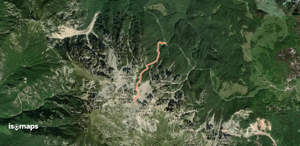
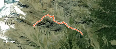
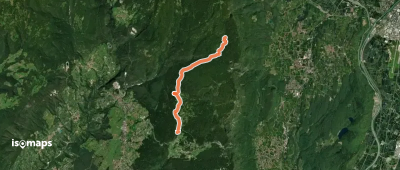
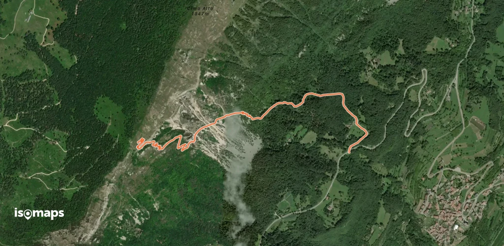
Top trails

OSM Route 2800686
OSM Route 2800686

Transacqua, Italie

6,04 km +196 m 2h 50min

Easy
Sentiero della Val delle Gole

Ravina, Italie

9,29 km +2 368 m 7h 0min

Very hard
OSM Route 2731536
OSM Route 2731536

Rifugio Alpe Pozza "V. Lancia", Italie

8,02 km +713 m 4h 50min

Hard
OSM Route 2584187
OSM Route 2584187

Costazza, Italie

3,39 km +160 m 1h 20min

Very easy
OSM Route 2582229
OSM Route 2582229

Bolognano-Vignole, Italie

2,50 km +502 m 1h 30min

Moderate
Via ferrata "Camillo Depaoli"

Rifugio Velo della Madonna, Italie

2,43 km +118 m 1h 50min

Very easy
Sentiero attrezzato del Passo di Ball

Cima di Val di Roda, Italie

2,14 km +225 m 1h 25min

Easy
Sentiero attrezzato della Lasta moia

Cima di Ball, Italie

4,28 km +1 016 m 2h 45min

Hard
Via Ferrata del Porton

Cima di Ball, Italie

1,00 km +377 m 45min

Easy
Via ferrata dei Sparavèi

Cima Verde, Italie

9,65 km +189 m 5h 5min

Easy
OSM Route 2351809
OSM Route 2351809

Taio, Italie

11,63 km +1 273 m 4h 5min

Hard
Senter del Fil
Senter del Fil

Zugna, Italie

2,93 km +73 m 2h 0min

Very easy
Via ferrata delle gallerie di guerra

Riva del Garda, Italie

1,82 km +205 m 1h 5min

Very easy
Sentér dei Bech
Sentér dei Bech

Riva del Garda, Italie

2,02 km +243 m 1h 25min

Easy
Sentiero Fausto Andrighettoni

Col Santo di Dentro, Italie

6,60 km +413 m 3h 15min

Moderate
OSM Route 2200654
OSM Route 2200654

Monte Cengledino, Italie

3,10 km +120 m 1h 20min

Very easy
Via del 92° Congresso

Arco, Italie

741 m +310 m 35min

Easy
OSM Route 2186965
OSM Route 2186965

Drena, Italie

2,32 km +295 m 1h 20min

Easy
Sentiero dei Carboneri

Vigo, Italie

8,72 km +1 515 m 5h 5min

Very hard
OSM Route 2179090

Passo di Valles, Italie

12,67 km +745 m 5h 10min

Hard
Sentiero C.A.I. 193, Alpinistico Angelo Pojesi

Rifugio Passo Pertica, Italie

2,30 km +904 m 1h 55min

Hard
OSM Route 2089625
OSM Route 2089625

Mezzocorona, Italie

4,19 km +705 m 2h 30min

Moderate
OSM Route 2089060
OSM Route 2089060

Roverè della Luna, Italie

9,65 km +1 234 m 4h 35min

Hard
Sentér de San Martin

Pieve di Ledro, Italie

7,69 km +1 000 m 4h 5min

Hard

Ready for your next adventure?

Try Iso Maps free for 7 days. Available on iOS and Android.

Download on iOS Download on Android APK (Google-free)