211 trails · 211 total activities recorded
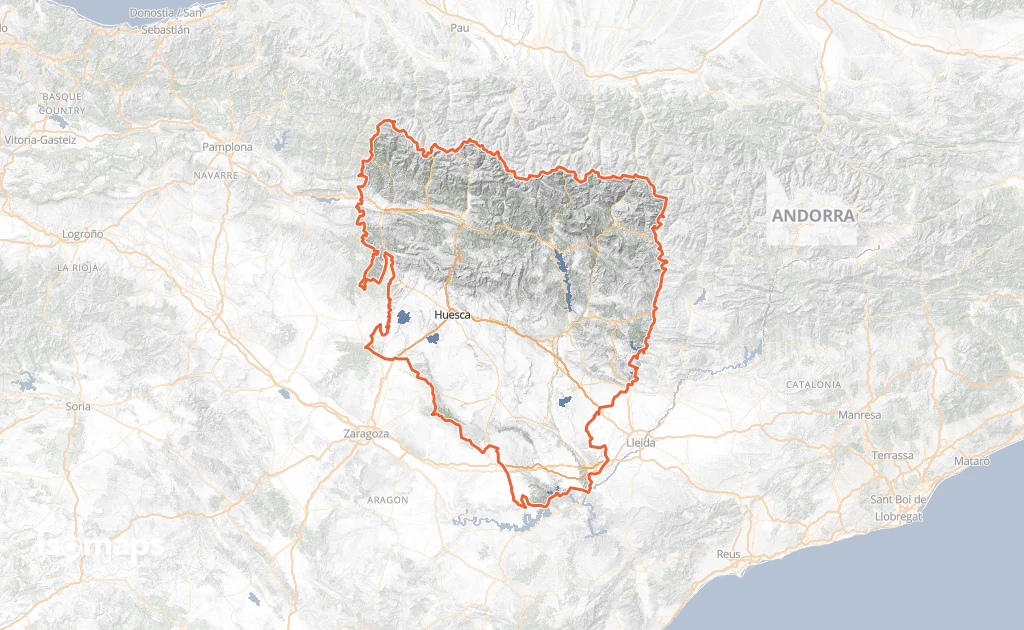
The Huesca province, in Aragón, is the heart of the Spanish Pyrenees. Across 15,626 km² it brings together the range's highest peaks: the Aneto (3,404 m, highest in the Pyrenees), the Monte Perdido (3,348 m, UNESCO-listed with the Gavarnie cirque on the French side), the Posets (3,375 m) and the Maladeta. Four natural parks and one national park (Ordesa y Monte Perdido) protect exceptional landscapes: glacial cirques, canyons (Mascún, Vero), the deep forests of the Sobrarbe. The GR 11 ("Senda Pirenaica") crosses the entire province, paralleled by the HRP at altitude.
Huesca city, the provincial capital, is served by train from Zaragoza (1h). Jaca is the base for the central Aragonese Pyrenees. Aínsa is the gateway to the Sobrarbe and Ordesa.
Best season: June to October for the high summits, May to November for valleys and canyons. The climate is drier than in France thanks to the Pyrenean rain shadow, extending the hiking season. Watch for afternoon thunderstorms in July-August, and early snowfalls from September above 3,000 m.
This area is under construction on Isomaps. Feel free to contribute your own tracks to enrich our Spanish Pyrenees map.

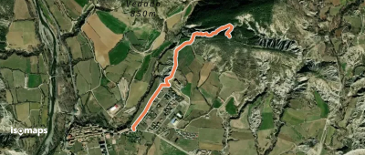
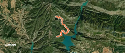
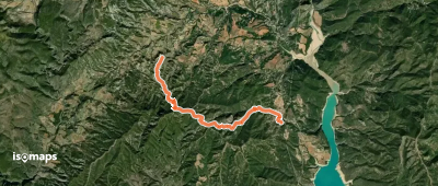
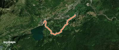
La Puebla de Castro, Espagne
13,82 km +720 m 4h 40min
Moderate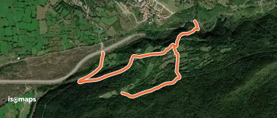
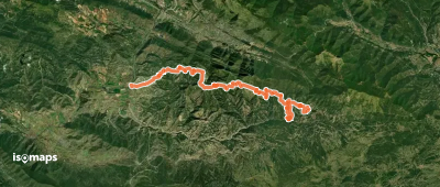
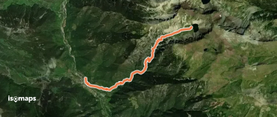
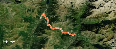
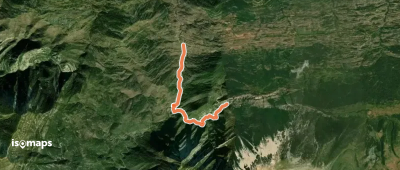
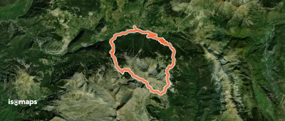
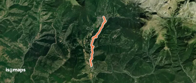
Fanlo del Valle de Vío, Espagne
13,43 km +1 130 m 4h 35min
Hard
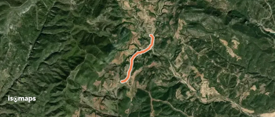
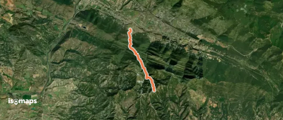
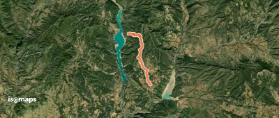
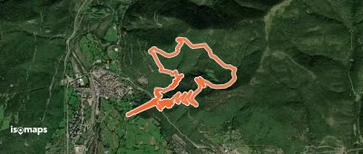
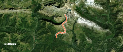
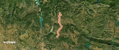
Girbeta, Espagne
5,17 km +302 m 1h 35min
Easy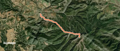
Try Isomaps free for 7 days. Available on iOS and Android.
