29 trails · 29 total activities recorded

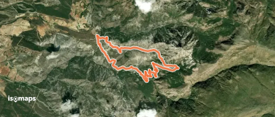
Spain's Sierra Nevada, located in Andalusia south of Granada, is the highest range of the Iberian peninsula. Its National Park protects 86,000 hectares of exceptional landscape: high-altitude meadows ("borreguiles"), glacial lakes ("lagunas"), deep gorges, and unique biodiversity with more than 80 endemic plant species. The Mulhacén (3,482 m) is the rooftop of mainland Spain, followed by Pico Veleta (3,396 m). The Integral de los 3,000 m, a traverse of all summits over 3,000 m, is one of the great ridge tours of Europe.
Granada, the cultural capital of Andalusia (Alhambra), is the gateway. The Sierra Nevada ski resort (Pradollano) at 2,100 m gives direct access to the high massif. The Alpujarras villages (Capileira, Trevélez) provide more authentic bases.
Best season: June to October for the high summits, year-round for the Alpujarras. The Mediterranean climate enables shoulder-season hiking in the Alpujarras. In summer beware of very high temperatures at low altitude (Genil valley) — start early and aim for altitude. Water can be scarce in July-August — plan resupplies.
This area is under construction on Isomaps. Feel free to contribute your own tracks to enrich our Sierra Nevada map.

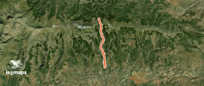

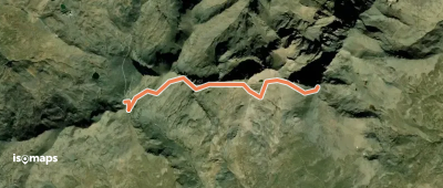
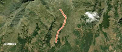
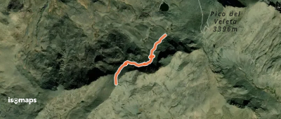
Mulhacén, Spain
8,00 km +560 m 1h 20min
Moderate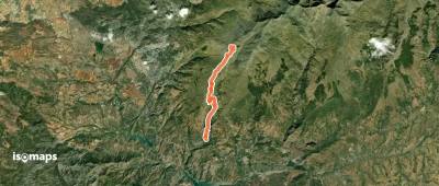

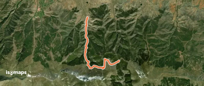
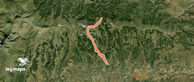

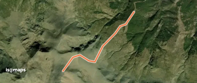
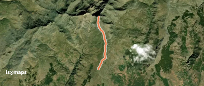
Cádiar, Espagne
8,00 km +1 280 m 1h 20min
Easy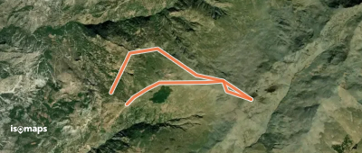
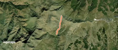
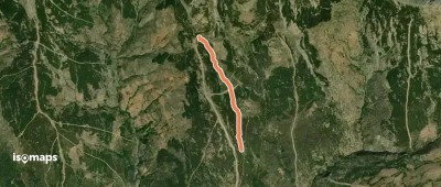
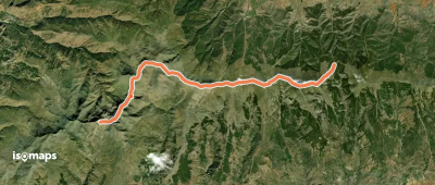
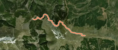
Cerro del Caballo, Espagne
4,00 km +856 m 2h 10min
Easy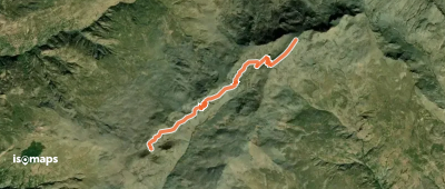
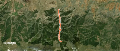
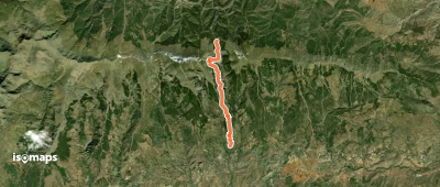
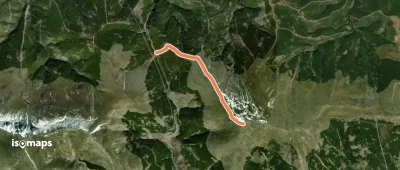
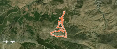
Cerro del Caballo, Espagne
6,57 km +658 m 2h 45min
ModerateTry Iso Maps free for 7 days. Available on iOS and Android.
