4,193 trails in Bayern. Find your next route on Isomaps — topo maps, GPS and elevation profile.
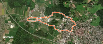
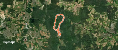


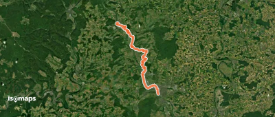
Höchstädt im Fichtelgebirge, Allemagne
6,47 km +98 m 1h 20min
Very easy
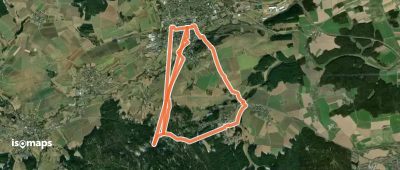

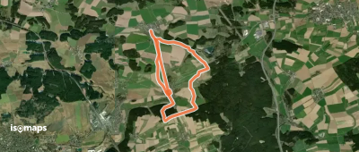
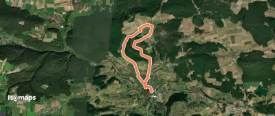
Unteregg, Allemagne
16,37 km +228 m 3h 35min
Moderate
Try Iso Maps free for 7 days. Available on iOS and Android.
