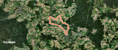
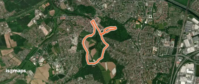
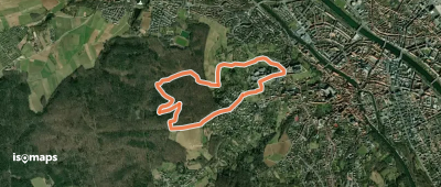
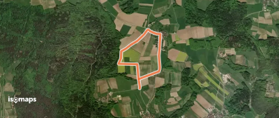
4,193 trails in Bayern. Find your next route on Isomaps — topo maps, GPS and elevation profile.
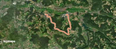
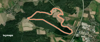

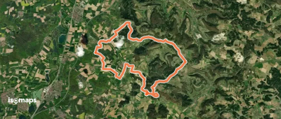
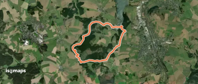
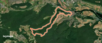
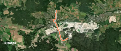
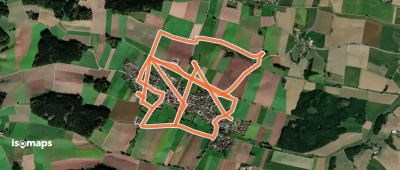
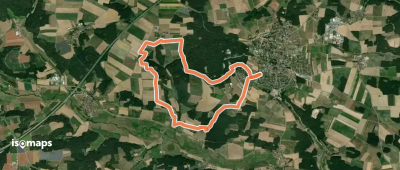
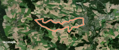
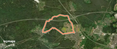
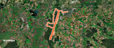
Oberleiterbach, Allemagne
23,32 km +530 m 5h 15min
Hard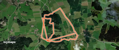


Try Iso Maps free for 7 days. Available on iOS and Android.
