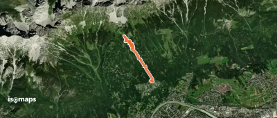
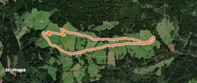
8,548 trails in Alpes du Nord. Find your next route on Isomaps — topo maps, GPS and elevation profile.

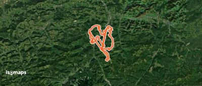
![[3] Fieberbrunn - Karstein](https://static-tiles.b-cdn.net/screenshots/screenshot_trace_92209.webp)
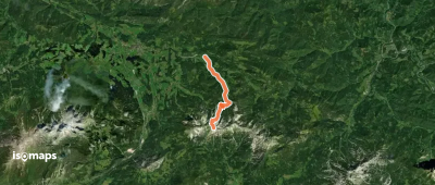
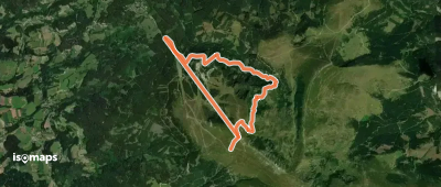

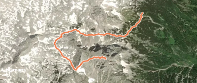
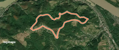
Stangental, Autriche
36,01 km +3 283 m 13h 35min
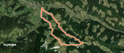
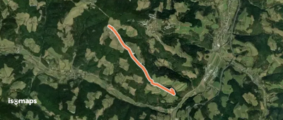
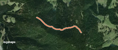
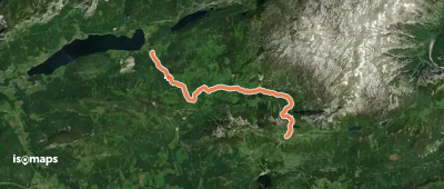
Very hardRohrbachgraben, Autriche
9,41 km +853 m 2h 50min
Moderate
Try Iso Maps free for 7 days. Available on iOS and Android.
