Hiking in the Jura

93 trails · 93 total activities recorded

Map of Jura

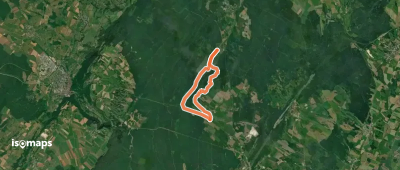
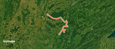
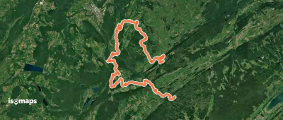
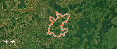
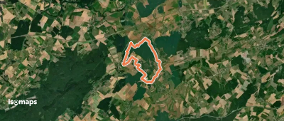
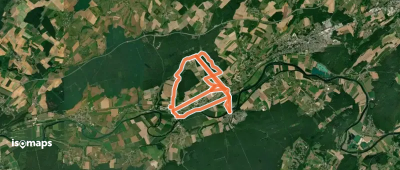
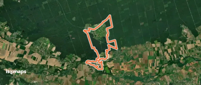
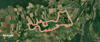
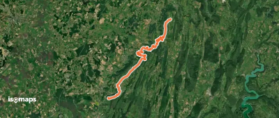
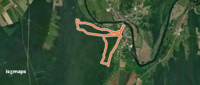
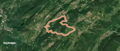
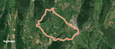
The Jura département extends over 4,999 km² in the eponymous range, a karstic chain bordering Switzerland. Far from the high altitude of the Alps, the Jura offers accessible mid-mountain: high plateaus (Hautes Combes, Haut-Bugey), spectacular limestone reculées (Baume-les-Messieurs), glacial lakes and waterfalls. The Crêt Pela (1,495 m) is the highest point. The département is crossed by the Grande Traversée du Jura (GTJ) and several long-distance trails (GR 5 variant, GR 9, GR 559).

Lons-le-Saunier and Dole are served by TER from Dijon or Lyon. The region is very accessible by car from Lyon (1h30) and Geneva (1h).

Best season: May to October for hiking, December to March for cross-country skiing and snowshoeing. Plateau hikes (Hautes Combes) remain accessible late in the season. Fog is frequent in autumn and spring at lower elevations — weather is often clearer at altitude.

The 127 routes we offer cover the whole Jura range, from family lake walks to the full traverse via the GTJ.

Top trails

Via Cluny Etape 14
Via Cluny Etape 14

Champagnole, France

22,95 km +549 m 10h 30min

Hard
Accès GRP
Accès GRP

Bief-du-Fourg, France

7,03 km +46 m 1h 25min

Very easy
Balade à Poligny
Balade à Poligny

Poligny, France

3,13 km +116 m 1h 40min

Very easy
Salins les Bains et le Mont Poupet

Salins-les-Bains, France

14,99 km +716 m 4h 35min

Moderate
Tour du Bief de Corne

La Châtelaine, France

9,74 km +138 m 2h 10min

Easy
Via Cluny Variante Dole

Dole, France

98,69 km +3 101 m 25h 45min

Very hard
Tour de la Vallée de la Saine

Le Mont Noir, France

49,08 km +1 927 m 15h 5min

Very hard
La Bresse Comtoise
La Bresse Comtoise

Chaumergy, France

105,83 km +1 695 m 22h 40min

Very hard
Mont de Vassange
Mont de Vassange

Saligney, France

11,59 km +326 m 2h 40min

Easy
Sentier des Mines
Sentier des Mines

Ranchot, France

13,12 km +186 m 2h 45min

Easy
Sentier des radeliers

La Vieille-Loye, France

21,33 km +252 m 4h 35min

Hard
VTToutrail
VTToutrail

Chissey-sur-Loue, France

15,08 km +70 m 3h 0min

Moderate
Accès GR 59
Accès GR 59

Lons-le-Saunier, France

4,56 km +120 m 2h 5min

Very easy
Les Arcets
Les Arcets

Prémanon, France

8,25 km +386 m 2h 40min

Easy
La Combe d'Angelon
La Combe d'Angelon

Leschères, France

7,44 km +300 m 2h 20min

Easy
Tour de la Haute Bienne

Saint-Claude, France

102,41 km +5 310 m 44h 45min

Very hard
Circuit des Fontaines

Gendrey, France

8,78 km +168 m 1h 55min

Easy
Via Cluny Etape 11

Mont de Saint-Sorlin, France

21,35 km +423 m 4h 35min

Hard
Via Cluny Etape 19
Via Cluny Etape 19

Geruge, France

24,85 km +873 m 7h 40min

Hard
Via Cluny Etape 15
Via Cluny Etape 15

Poligny, France

21,28 km +917 m 6h 0min

Hard
Belvédère Edgar Faure

Port-Lesney, France

4,49 km +262 m 1h 15min

Very easy
Sentier des Lapidaires

Septmoncel, France

8,75 km +405 m 2h 50min

Easy
Sentier des Chamois du Jura

Villard-Saint-Sauveur, France

16,17 km +1 254 m 7h 0min

Very hard
La plaine de la Thoreigne

Moutonne, France

11,60 km +187 m 2h 40min

Easy

Ready for your next adventure?

Try Iso Maps free for 7 days. Available on iOS and Android.

Download on iOS Download on Android APK (Google-free)