6 trails in Haute Ariège - Andorre. Find your next route on Isomaps — topo maps, GPS and elevation profile.

Pic d'Engaït, Andorra
3,75 km +657 m 1h 50min
Easy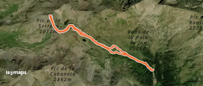
Pic de la Coume de Seignac, Andorre
8,42 km +1 007 m 2h 50min
Moderate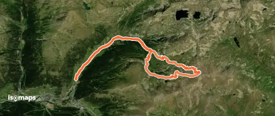
Pic de la Cabaneta, Andorre
16,00 km +1 125 m 4h 30min
ModerateTry Isomaps free for 7 days. Available on iOS and Android.
