1 trails in Hohe Tauern. Find your next route on Isomaps — topo maps, GPS and elevation profile.
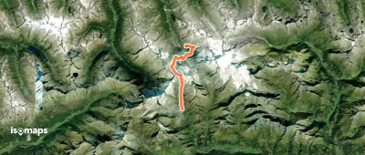
Essener-Rostocker-Hütte, Austria
11,93 km +1 368 m 4h 10min
Try Isomaps free for 7 days. Available on iOS and Android.