20 trails in Hautes Andes / Andes centrales. Find your next route on Isomaps — topo maps, GPS and elevation profile.
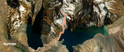
Embalse El Yeso, Chili
3,85 km +40 m 35min
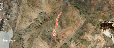
Paso Villagra, Argentina
3,38 km +932 m 2h 25min
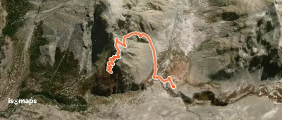
Cerro El Alto, Chile
2,24 km +202 m 35min
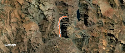
Parada Portillo, Chile
6,01 km +16 m 35min
Try Isomaps free for 7 days. Available on iOS and Android.