Launch offer: subscribe before July 12 and lock in your price for life. See pricing

Alpes Grées - Charbonnel

20 trails in Alpes Grées - Charbonnel. Find your next route on Isomaps — topo maps, GPS and elevation profile.
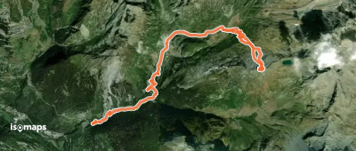
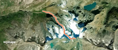
Sommet du Louprama - Versant N

La Motte, France

11,72 km +1 434 m 4h 35min

Easy
Grande Aiguille Rousse - Versant NW (voie normale)

Col du Montet, France

4,66 km +1 167 m 3h 0min

Easy
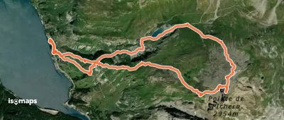
Pointe de Picheru - Versant W

Pointe de Picheru, France

10,67 km +1 221 m 3h 30min

Moderate
Grande Aiguille Rousse - Face S

Grande Aiguille Rousse, France

3,15 km +100 m 35min

Moderate
Pointe de la Foglietta - Versant NE en boucle

Sainte-Foy-Tarentaise, France

9,00 km +370 m 1h 45min

Moderate

Ready for your next adventure?

Try Isomaps free for 7 days. Available on iOS and Android.

Download on iOS Download on Android APK (Google-free)
Isomaps Your outdoor outings, anywhere, even offline
Install Install