57 trails in Beaufortain. Find your next route on Isomaps — topo maps, GPS and elevation profile.
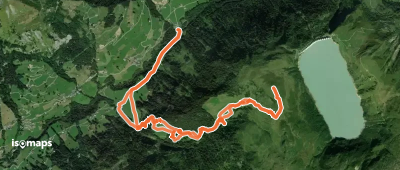
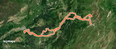
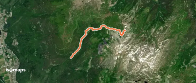
Belleville, France
8,50 km +938 m 3h 10min
Very easy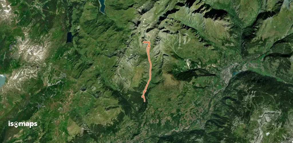
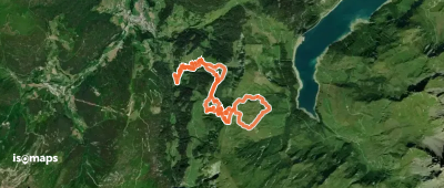
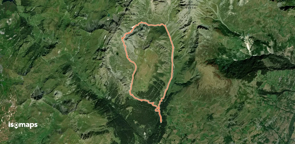
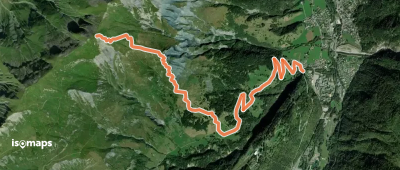
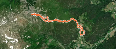
Naves, France
16,46 km +1 339 m 4h 40min
Moderate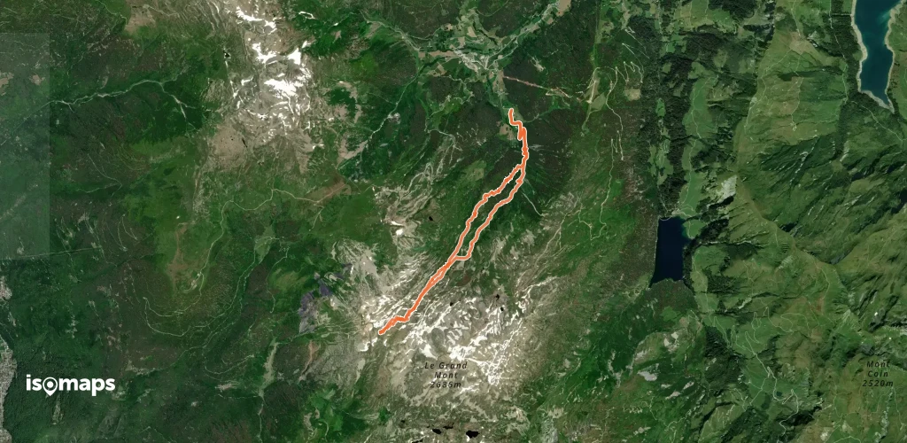

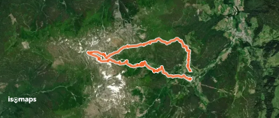
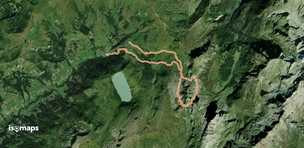

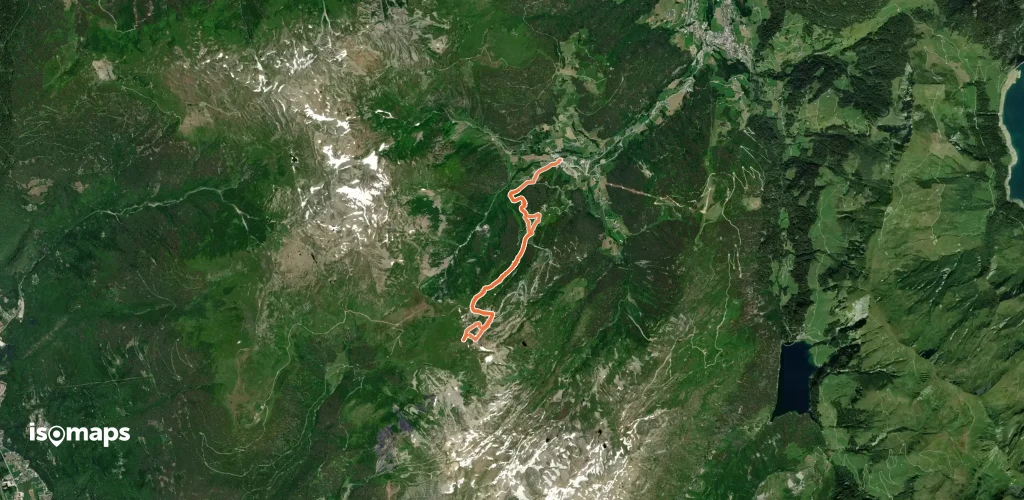
Pointe de la Grande Journée, France
6,87 km +1 425 m 3h 10min
Moderate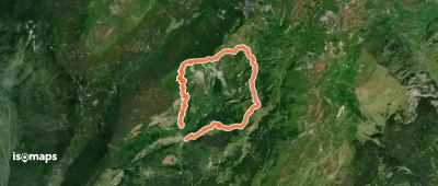
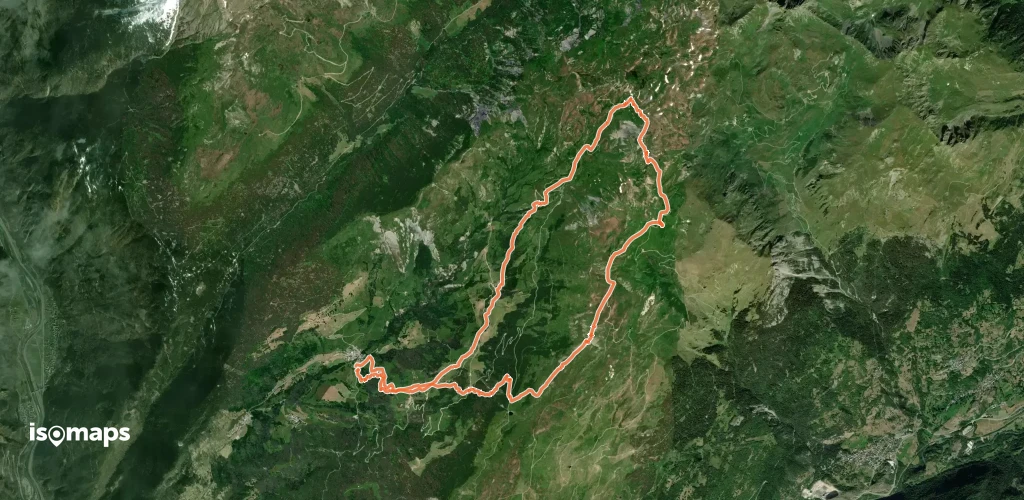
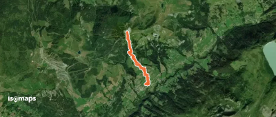
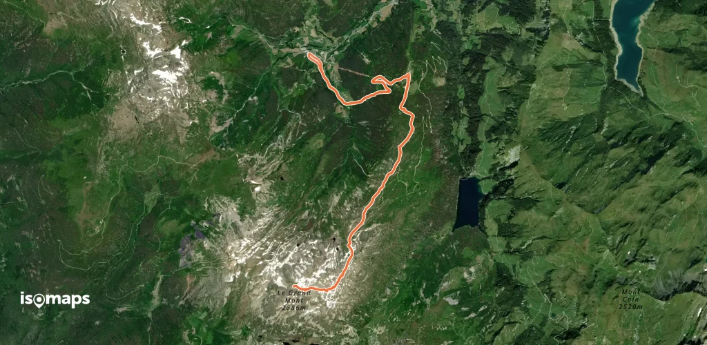
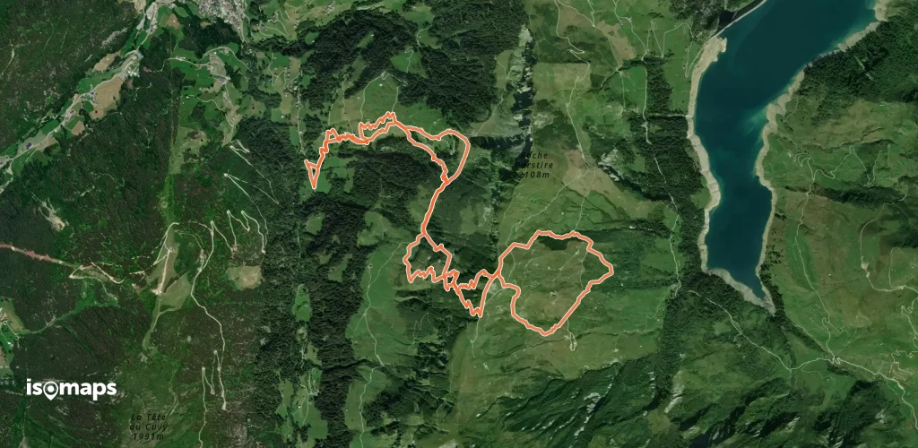
Mont Mirantin, France
7,69 km +1 039 m 3h 0min
Moderate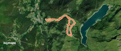
Try Isomaps free for 7 days. Available on iOS and Android.
