3 trails in Ötztal. Find your next route on Isomaps — topo maps, GPS and elevation profile.
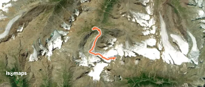
Vent, France
7,23 km +1 282 m 3h 10min
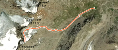
, France
4,26 km +906 m 2h 25min
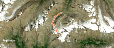
6,07 km +1 130 m 3h 5min
Try Isomaps free for 7 days. Available on iOS and Android.