33 trails in Queyras - Alpes Cozie N. Find your next route on Isomaps — topo maps, GPS and elevation profile.

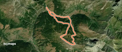
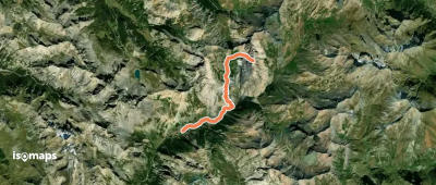
Le Roux, France
10,96 km +931 m 3h 15min
Easy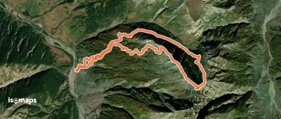

Pointe des Heuvières, France
12,10 km +668 m 3h 35min
Easy
Abriès, France
19,45 km +1 634 m 5h 25min
Easy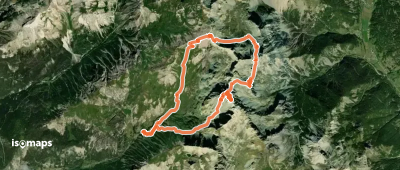
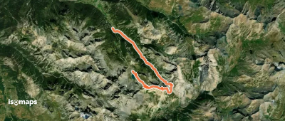
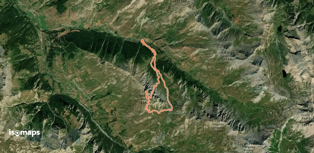
Pic de Béal-Traversier, France
12,95 km +1 707 m 4h 20min
Hard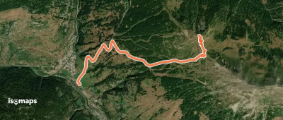
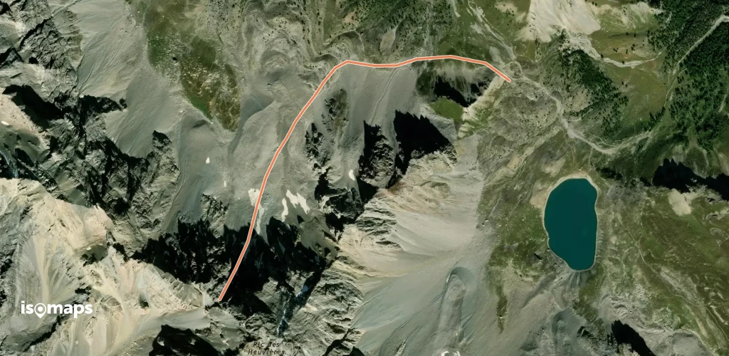
Pointe des Heuvières, France
2,12 km +709 m 1h 10min
Very hard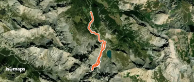
Pointe des Heuvières, France
6,91 km +782 m 1h 55min
Very hard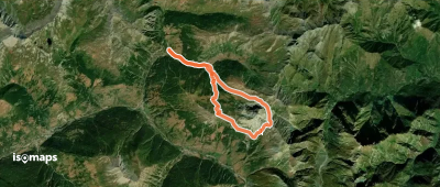
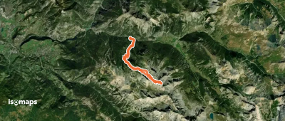
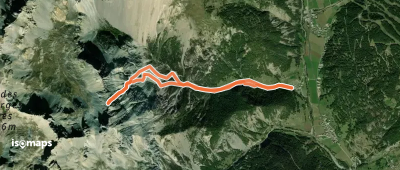
Fontgillarde, France
11,30 km +1 136 m 4h 0min
Hard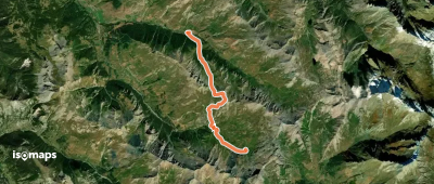
Try Isomaps free for 7 days. Available on iOS and Android.
