47 trails in Queyras S - Parpaillon - Ubaye - Orrenaye. Find your next route on Isomaps — topo maps, GPS and elevation profile.

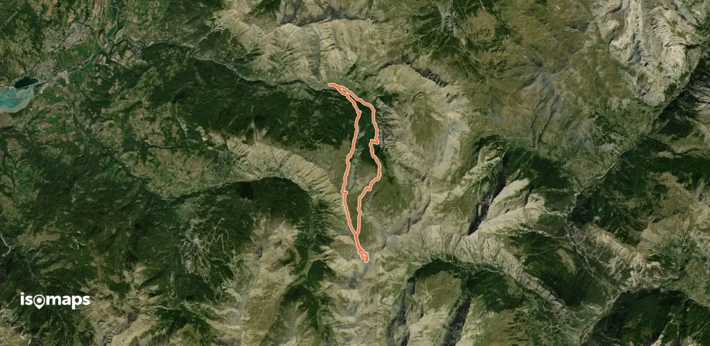
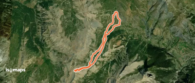
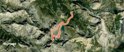
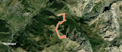
Pointe de la Font-Sancte, France
9,81 km +1 924 m 3h 25min
Very hard
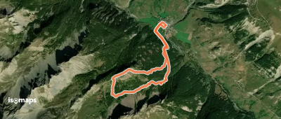


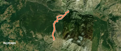
, France
9,52 km +1 400 m 3h 50min
Easy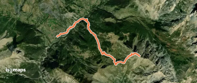
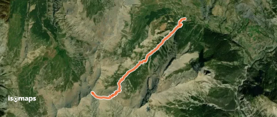
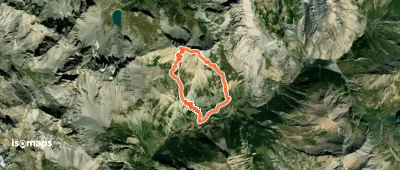
Les Bonis, France
7,82 km +1 487 m 4h 10min
Easy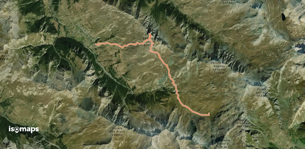

Try Isomaps free for 7 days. Available on iOS and Android.


