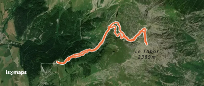
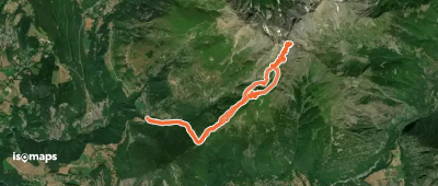
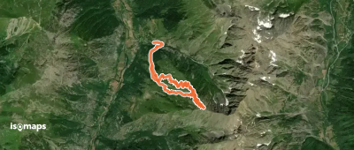
10 trails in Taillefer - Matheysine. Find your next route on Isomaps — topo maps, GPS and elevation profile.
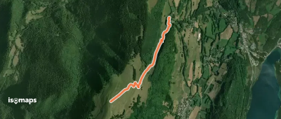
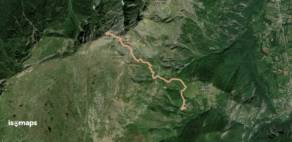
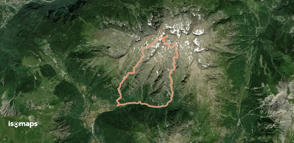
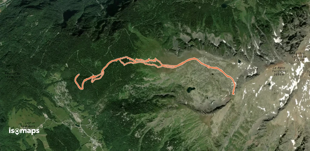
Villard-Saint-Christophe, France
17,55 km +1 561 m 4h 40min
Easy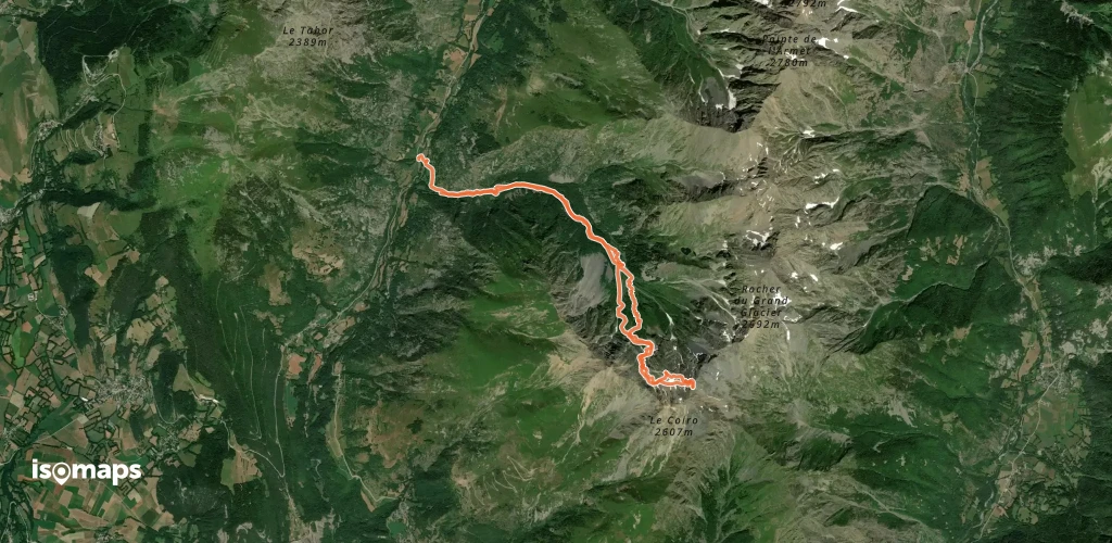
Try Isomaps free for 7 days. Available on iOS and Android.
