75 trails in Vanoise. Find your next route on Isomaps — topo maps, GPS and elevation profile.
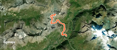
Pointe de Méan-Martin, France
21,00 km +2 020 m 6h 5min
Moderate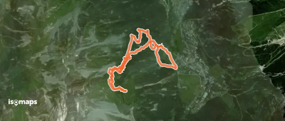
Pralognan-la-Vanoise, France
6,80 km +843 m 2h 25min
Very easy
Try Isomaps free for 7 days. Available on iOS and Android.
