Launch offer: subscribe before July 12 and lock in your price for life. See pricing

Vercors

52 trails in Vercors. Find your next route on Isomaps — topo maps, GPS and elevation profile.

Trois Pucelles - Couloir NE

Saint-Nizier-du-Moucherotte, France

1,11 km +340 m 15min

Moderate
Le Moucherotte - Versant W (voie normale)

Le Moucherotte, France

8,31 km +779 m 2h 30min

Very easy
Pic Saint Michel, Versant Est

Saint-Paul-de-Varces, France

6,75 km +1 067 m 2h 45min

Easy
Le Moucherotte, par le plateau des ramées

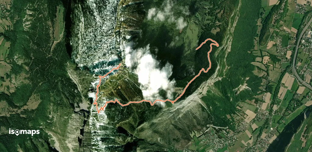
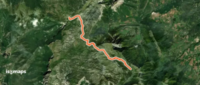
Montagnes de Lans, France

4,80 km +574 m 1h 45min

Very easy
Plateau du Cornafion - Combe Chaulange

Rochers de l'Ours, France

2,91 km +24 m 15min

Easy
Crête de le Ferrière, Boucle départ col de l'Arzelier

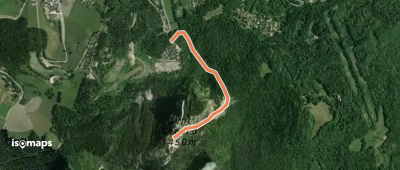
Col de l'Arzelier, France

1,24 km +359 m 35min

Easy

Ready for your next adventure?

Try Isomaps free for 7 days. Available on iOS and Android.

Download on iOS Download on Android APK (Google-free)
Isomaps Your outdoor outings, anywhere, even offline
Install Install