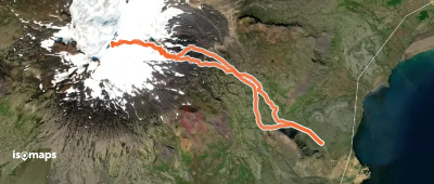
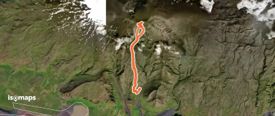
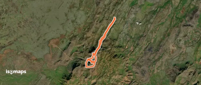
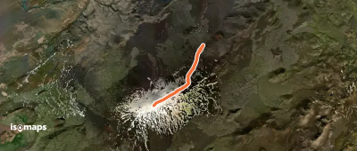
Islande

15 trails in Islande. Find your next route on Isomaps — topo maps, GPS and elevation profile.

Snaefellsjokull, Kviahnuksjokull

Stapafell, Iceland

17,78 km +1 365 m 4h 55min

Very easy
Eyjafjallajokull, face Sud

Rauðafell, Iceland

19,01 km +1 651 m 5h 40min

Very easy
Hengill, côté Nord
Hengill, côté Nord

Hveragerdi, Iceland

9,24 km +821 m 3h 5min

Very easy
Hekla, Arête Nord-Est

Hestalda, Iceland

12,79 km +955 m 3h 30min

Very easy
Hreidarsstafjall, face NE

Sýlingarhnjúkur, Iceland

7,95 km +1 126 m 3h 20min

Very easy

Ready for your next adventure?

Try Iso Maps free for 7 days. Available on iOS and Android.

Download on iOS Download on Android APK (Google-free)
Isomaps Your outdoor outings, anywhere, even offline
Install Install