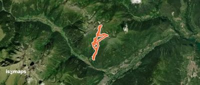
Ortles

24 trails in Ortles. Find your next route on Isomaps — topo maps, GPS and elevation profile.

Route camptocamp 273337

, Italie

6,44 km +1 366 m 1h 15min

Hard
Rifugio Pizzini - Frattola - depuis Forni

Malga dei Forni, Italie

4,30 km +562 m 50min

Very easy
Route camptocamp 729218

Cima Lac, Italy

13,15 km +1 813 m 5h 15min

Easy
Route camptocamp 47189

, Italie

18,70 km +1 380 m 4h 55min

Moderate
Monte Cevedale - en boucle par le Palon de la Mare

, Italie

22,00 km +2 070 m 6h 50min

Moderate

Ready for your next adventure?

Try Isomaps free for 7 days. Available on iOS and Android.

Download on iOS Download on Android APK (Google-free)
Isomaps Your outdoor outings, anywhere, even offline
Install Install