31 trails in Queyras S - Parpaillon - Ubaye - Orrenaye. Find your next route on Isomaps — topo maps, GPS and elevation profile.
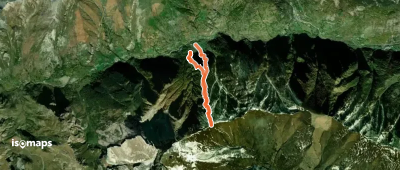
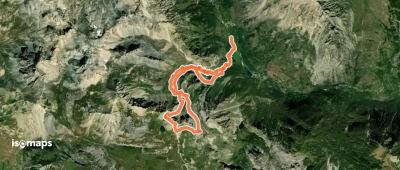
Chiosso Medio e Superiore, Italy
5,18 km +922 m 2h 25min
Moderate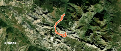
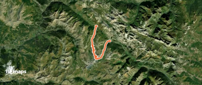
Grangie, Italie
15,28 km +1 216 m 4h 10min
Easy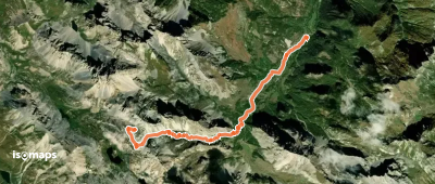
Colle delle Munie, France
10,32 km +1 203 m 3h 45min
Moderate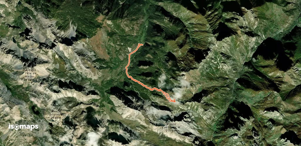
Try Isomaps free for 7 days. Available on iOS and Android.
