6 trails in Sud Tyrol. Find your next route on Isomaps — topo maps, GPS and elevation profile.
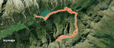
Zona Turistica Anterselva Alta, Italy
19,26 km +1 450 m 5h 5min
Very easy
Try Isomaps free for 7 days. Available on iOS and Android.
