1 trails in Texel. Find your next route on Isomaps — topo maps, GPS and elevation profile.
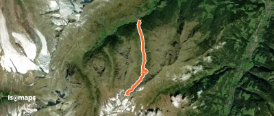
Plan, Italy
14,02 km +1 347 m 4h 20min
Try Isomaps free for 7 days. Available on iOS and Android.