Launch offer: subscribe before July 12 and lock in your price for life. See pricing

Valais W - Alpes Pennines W

5 trails in Valais W - Alpes Pennines W. Find your next route on Isomaps — topo maps, GPS and elevation profile.

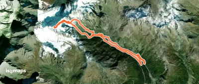
Aiguille des Sasses : Face W

Saint-Rhémy, Italy

14,99 km +1 467 m 4h 20min

Moderate
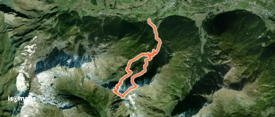
Mont de Flassin, En traversée

San Leonardo, Italy

8,02 km +1 333 m 3h 25min

Moderate
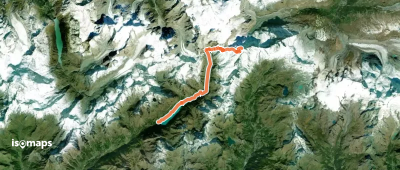
Dent d'Hérens, Voie normale depuis le ref. Aosta

Châtillon, Italy

17,96 km +2 558 m 7h 10min

Hard

Ready for your next adventure?

Try Isomaps free for 7 days. Available on iOS and Android.

Download on iOS Download on Android APK (Google-free)
Isomaps Your outdoor outings, anywhere, even offline
Install Install