55 trails in Mont-Blanc. Find your next route on Isomaps — topo maps, GPS and elevation profile.
Tête d'Arpette, Switzerland
5,30 km +12 m 30min
Hard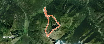
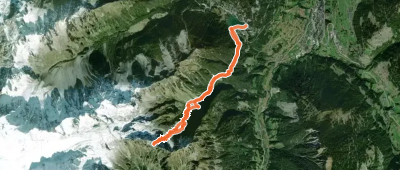
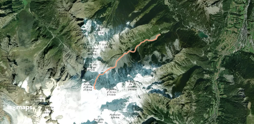
Les Plans, Suisse
8,69 km +1 451 m 4h 10min
Hard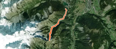
Try Isomaps free for 7 days. Available on iOS and Android.
