36 trails in Préalpes Fribourgeoises - Bernoises. Find your next route on Isomaps — topo maps, GPS and elevation profile.
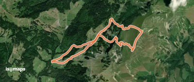
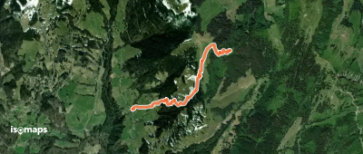
Les Millets, Suisse
16,42 km +1 723 m 5h 30min
Easy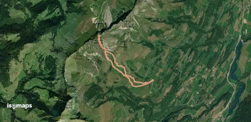
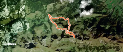
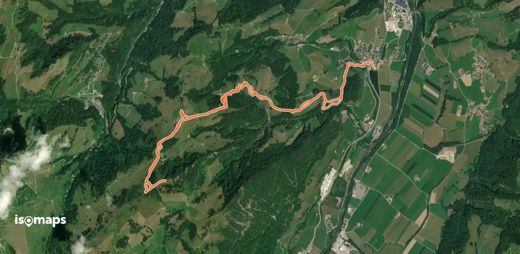
Gustispitz, Switzerland
7,92 km +751 m 2h 0min
Very easy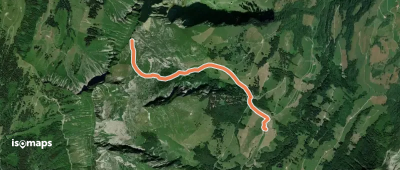
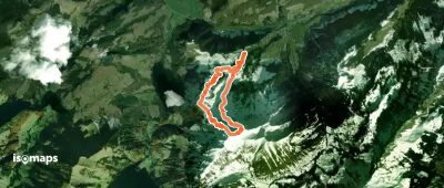
Grosse Orgevalette, Switzerland
2,76 km +917 m 2h 5min
Very easy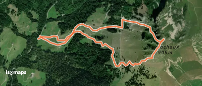
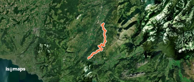
Villard-sur-Chamby, Switzerland
2,81 km +726 m 1h 55min
Very easy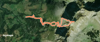
Try Isomaps free for 7 days. Available on iOS and Android.
