5 trails in Alpes Vaudoises. Find your next route on Isomaps — topo maps, GPS and elevation profile.
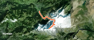
Les Diablerets, Switzerland
17,68 km +2 274 m 6h 35min
Moderate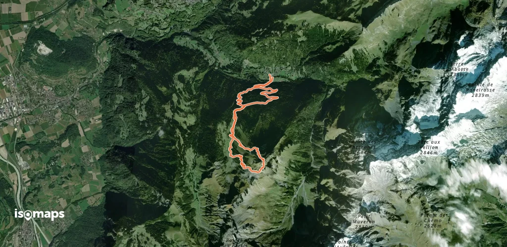
Try Isomaps free for 7 days. Available on iOS and Android.
