10 trails in Préalpes apenzelloises. Find your next route on Isomaps — topo maps, GPS and elevation profile.

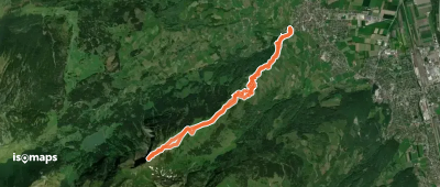
Malbun Untersäss, Switzerland
11,31 km +1 203 m 3h 45min
Moderate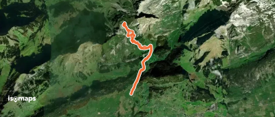
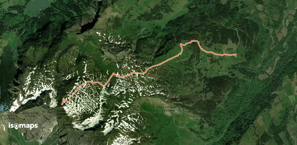
Unterwasser, Switzerland
8,75 km +891 m 2h 50min
Easy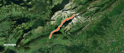
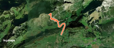
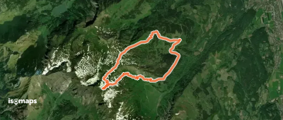
Unterwasser, Switzerland
9,79 km +983 m 3h 15min
Easy
Try Isomaps free for 7 days. Available on iOS and Android.
