1,077 itinéraires dans Alpes du Nord. Trouvez votre prochain parcours sur Isomaps — cartes topo, GPS et profil altimétrique.
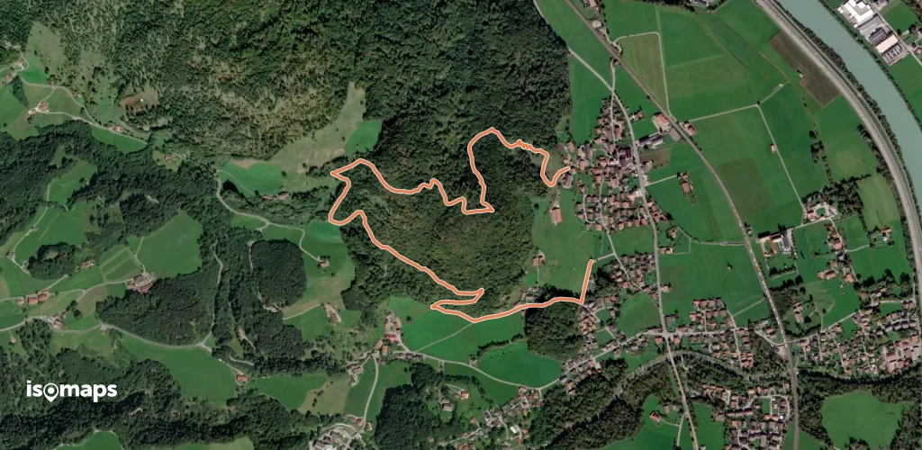
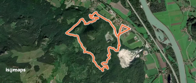
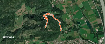
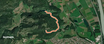
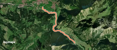
Aschau im Chiemgau, Allemagne
7,38 km +408 m 2h 20min
Facile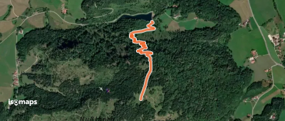
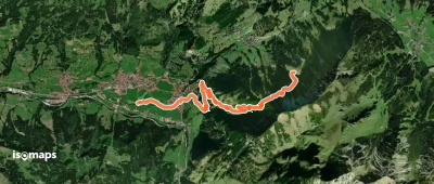
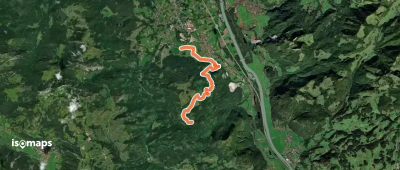
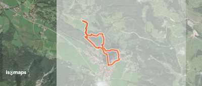
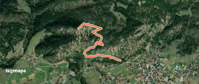
Bad Hindelang, Allemagne
7,39 km +934 m 4h 5min
Modéré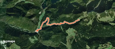
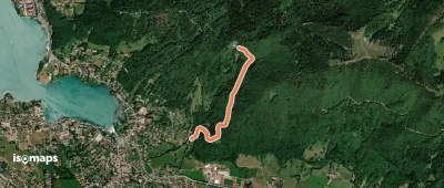
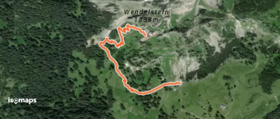
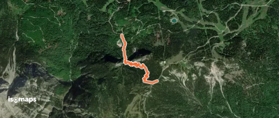
Hinterstein, Allemagne
5,77 km +103 m 1h 30min
Très facile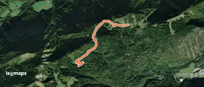
Essayez Iso Maps gratuitement pendant 7 jours. Disponible sur iOS et Android.
