Alpes du Nord

1,077 itinéraires dans Alpes du Nord. Trouvez votre prochain parcours sur Isomaps — cartes topo, GPS et profil altimétrique.

Schlechinger Wanderweg 68

Hintere Dalsenalpe, Allemagne

3,09 km +361 m 1h 10min

Facile
König Maximilianweg
König Maximilianweg

Wendelstein, Allemagne

4,96 km +97 m 2h 45min

Très facile
Wendelstein - Sudelfeld Passhöhe

Bayrischzell, Allemagne

4,83 km +744 m 2h 30min

Modéré
Wanderweg 634 - Spitzingsee

Bodenschneid, Allemagne

2,72 km +212 m 1h 30min

Très facile
AV Weg 417
AV Weg 417

Hintergern, Allemagne

16,13 km +1 918 m 8h 30min

Très difficile
Wanderweg B1a - Wendelsteinalmen

Bayrischzell, Allemagne

2,84 km +366 m 1h 20min

Facile
Wanderweg 60
Wanderweg 60

Haßlberg, Allemagne

3,19 km +386 m 2h 45min

Facile
Riesenhütte - Frasdorf

Frasdorf, Allemagne

6,53 km +708 m 2h 20min

Modéré
Wanderweg 252
Wanderweg 252

Griesen, Allemagne

5,65 km +1 483 m 3h 25min

Très difficile
Wanderweg 63
Wanderweg 63

Ruhpolding, Allemagne

3,91 km +301 m 1h 15min

Facile
Die Alpenüberquerung - Etappe 2

Wildbad Kreuth, Allemagne

9,75 km +1 016 m 4h 35min

Difficile
Blomberg Zwiesel
Blomberg Zwiesel

Sauersberger Alpe, Allemagne

9,19 km +743 m 7h 15min

Modéré
Wanderweg 653 - Brünnstein

Schmiedalpe, Allemagne

7,44 km +752 m 3h 20min

Modéré
AV Weg 423
AV Weg 423

Kärlingerhaus am Funtensee, Allemagne

2,04 km +281 m 50min

Facile
Wanderweg 12 - Bad Feilnbach

Brannenburg, Allemagne

5,83 km +365 m 3h 55min

Facile
Via Alpina Red R45
Via Alpina Red R45

Nordöstliche Dreitorspitz, Allemagne

11,39 km +652 m 6h 10min

Difficile
Wanderweg 251
Wanderweg 251

Griesen, Allemagne

5,42 km +1 334 m 2h 55min

Difficile
Premiumwanderweg Nagelfluhschleife Alpenfreiheit

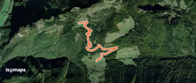
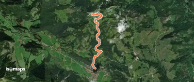
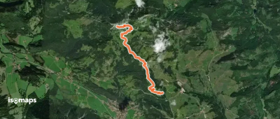
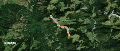
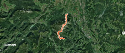
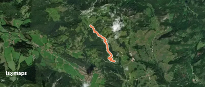
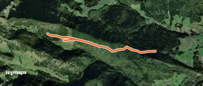
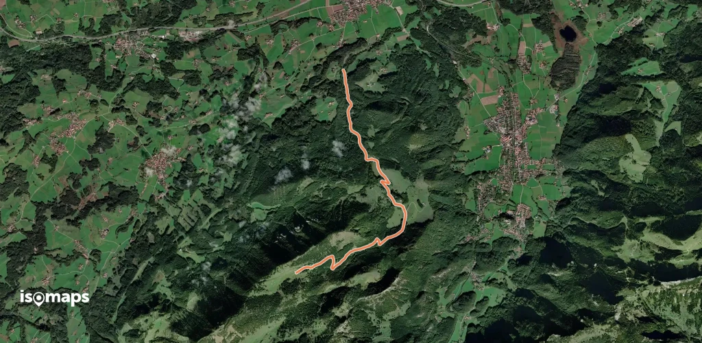
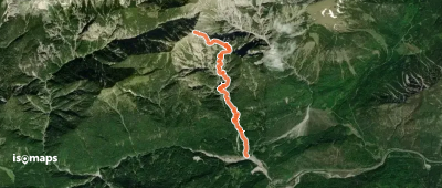
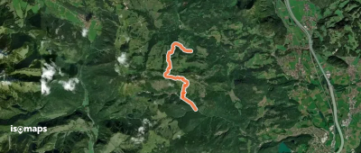
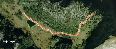
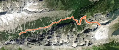
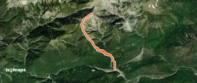
Fluh Alpe, Allemagne

13,79 km +718 m 4h 55min

Difficile
Wanderweg 70
Wanderweg 70

Ruhpolding, Allemagne

1,95 km +105 m 1h 15min

Très facile
Leiblweg
Leiblweg

Bad Feilnbach, Allemagne

3,68 km +245 m 1h 30min

Très facile

Prêt pour votre prochaine sortie ?

Essayez Iso Maps gratuitement pendant 7 jours. Disponible sur iOS et Android.

Télécharger sur iOS Télécharger sur Android APK (sans Google)
Isomaps Vos sorties outdoor, partout, même sans réseau
Installer Installer