6,913 itinéraires dans Baden-Württemberg. Trouvez votre prochain parcours sur Isomaps — cartes topo, GPS et profil altimétrique.

Aichstetten, Allemagne
8,81 km +116 m 1h 55min
Facile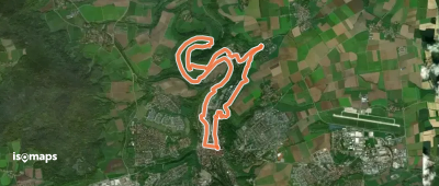

Nehren, Allemagne
3,79 km +174 m 1h 0min
Très facile


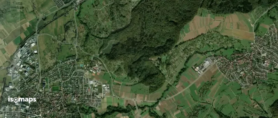
Hohentengen, Allemagne
2,94 km +79 m 45min
Très facile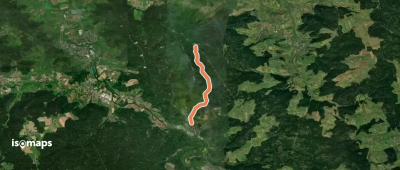
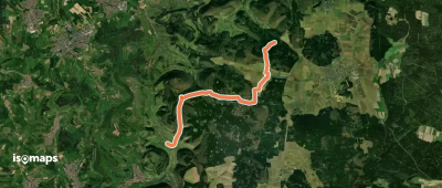
Rottenburg, Allemagne
29,86 km +553 m 6h 30min
Difficile
Hausen an der Aach, Allemagne
2,84 km +27 m 35min
Très facile


Meckenbeuren, Allemagne
4,18 km +73 m 55min
Très facile
Essayez Iso Maps gratuitement pendant 7 jours. Disponible sur iOS et Android.
