6,913 itinéraires dans Baden-Württemberg. Trouvez votre prochain parcours sur Isomaps — cartes topo, GPS et profil altimétrique.
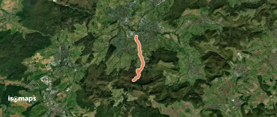
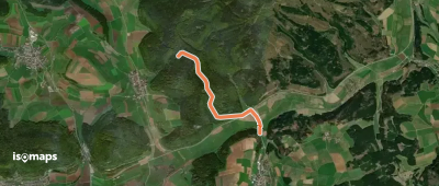
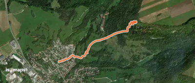
Dreifürstenstein, Allemagne
4,12 km +20 m 55min
Très facile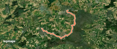
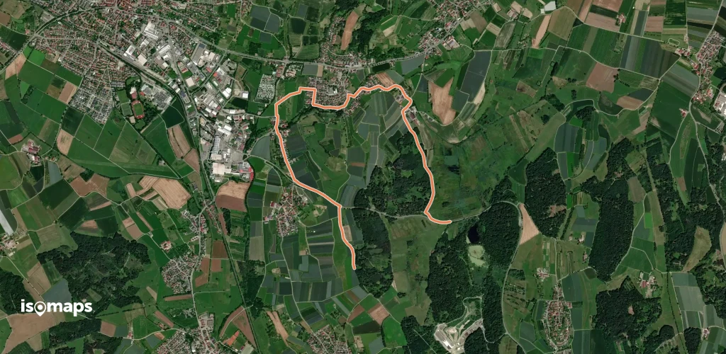
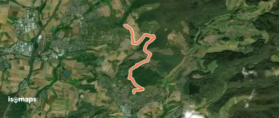
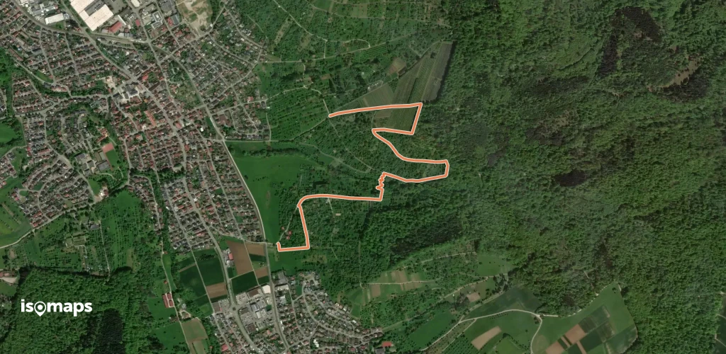
Pliezhausen, Allemagne
8,02 km +214 m 1h 55min
Facile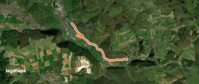
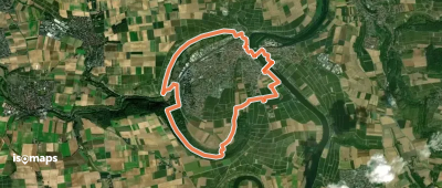
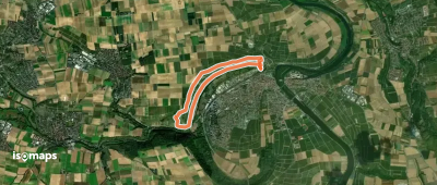
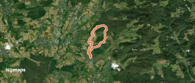
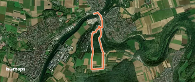
Lauffen am Neckar, Allemagne
6,00 km +106 m 1h 20min
Très facile

Essayez Isomaps gratuitement pendant 7 jours. Disponible sur iOS et Android.
