4,193 itinéraires dans Bayern. Trouvez votre prochain parcours sur Isomaps — cartes topo, GPS et profil altimétrique.

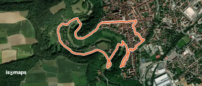
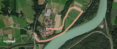
Rothenburg upon Tauber, Allemagne
4,03 km +157 m 1h 20min
Très facile
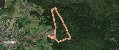
Münchberg, Allemagne
79,54 km +1 818 m 17h 10min
Très difficile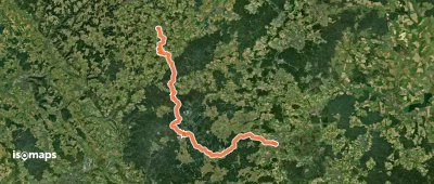

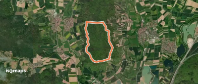
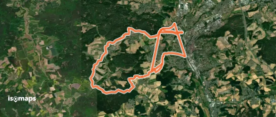
Bad Grönenbach, Allemagne
16,79 km +350 m 3h 35min
Modéré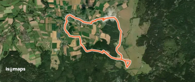
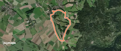
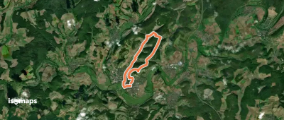
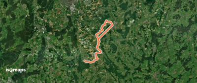
Prächting, Allemagne
12,77 km +349 m 2h 55min
Facile
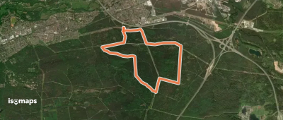
Dieterskirchen, Allemagne
22,39 km +608 m 4h 55min
Difficile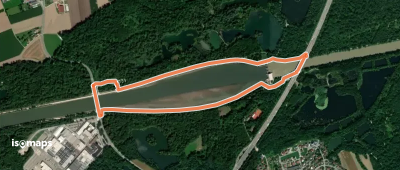
Essayez Iso Maps gratuitement pendant 7 jours. Disponible sur iOS et Android.
