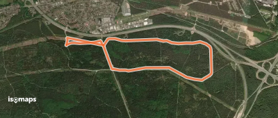
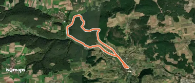
4,193 itinéraires dans Bayern. Trouvez votre prochain parcours sur Isomaps — cartes topo, GPS et profil altimétrique.
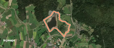
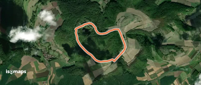
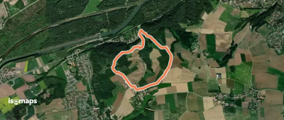
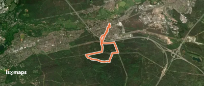
Höchstädt im Fichtelgebirge, Allemagne
9,53 km +174 m 2h 0min
Facile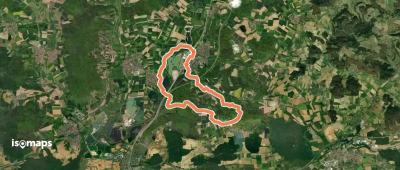


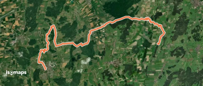
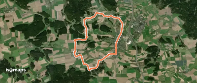
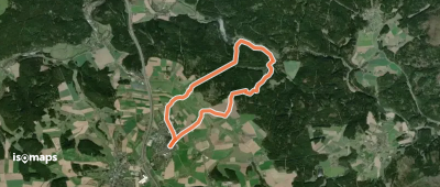
Ottobeuren, Allemagne
24,92 km +500 m 5h 25min
Difficile
Essayez Iso Maps gratuitement pendant 7 jours. Disponible sur iOS et Android.
