Bayern

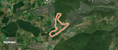
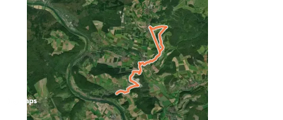
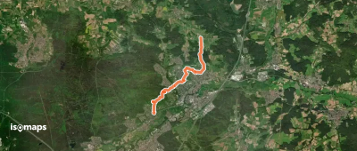
4,193 itinéraires dans Bayern. Trouvez votre prochain parcours sur Isomaps — cartes topo, GPS et profil altimétrique.

Erlabrunn E5
Erlabrunn E5

Erlabrunn, Allemagne

2,67 km +193 m 50min

Très facile
Felsensteig
Felsensteig

Redwitz an der Rodach, Allemagne

6,86 km +148 m 1h 35min

Très facile
Rote Schnepfe Rundwanderweg Michelau

Gräfendorf, Allemagne

5,78 km +166 m 1h 30min

Très facile
Nordic Walking Höchberg 2

Eisingen, Allemagne

6,31 km +110 m 1h 20min

Très facile
Gössenheim, blaues Da auf Gelb

Gambach, Allemagne

9,81 km +392 m 2h 25min

Facile
Ludwigshöhe - Dehnberg

Rückersdorf, Allemagne

7,45 km +231 m 1h 45min

Très facile
Rundwanderweg Gibacht

Gibacht, Allemagne

5,30 km +188 m 1h 20min

Très facile
Uprodeweg
Uprodeweg

Hof, Allemagne

25,49 km +451 m 5h 20min

Difficile
Durach: Rund um den Bodelsberg

Bodelsberg, Allemagne

3,73 km +76 m 50min

Très facile
Verbindungsweg Warmensteinach-Silberhaus

Warmensteinach, Allemagne

10,64 km +402 m 2h 30min

Facile
Rundweg Schönbrunn im Steigerwald S 1

Oberneuses, Allemagne

7,71 km +135 m 1h 40min

Très facile
Wanderweg Nr. 3
Wanderweg Nr. 3

Weiherhammer, Allemagne

7,58 km +79 m 1h 30min

Très facile
Fichtelberger "Dichter-, Denker- und Komponistenweg"

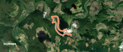
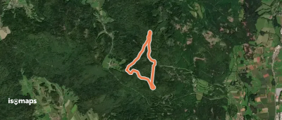
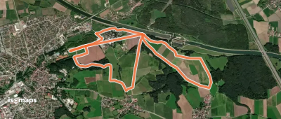
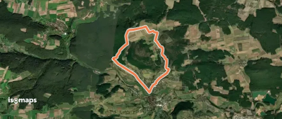
Fichtelberg, Allemagne

13,21 km +441 m 3h 5min

Facile
Chiemsee Rundweg

Gollenshausen am Chiemsee, Allemagne

58,29 km +376 m 12h 0min

Très difficile
13 Brauereien Weg
13 Brauereien Weg

Strullendorf, Allemagne

33,94 km +800 m 7h 35min

Très difficile
Schleusenweg
Schleusenweg

Hilpoltstein, Allemagne

7,87 km +113 m 1h 35min

Très facile
Spalt IVV 09
Spalt IVV 09

Spalt, Allemagne

6,94 km +164 m 1h 30min

Très facile
3 - Gschwendrunde
3 - Gschwendrunde

Isny, Allemagne

4,43 km +65 m 55min

Très facile
Kulmainer Rundwanderweg Nr. 3 (Zum Waldsee)

Kulmain, Allemagne

6,18 km +85 m 1h 15min

Très facile
Bankerlweg
Bankerlweg

Ebermannsdorf, Allemagne

4,65 km +97 m 1h 0min

Très facile

Prêt pour votre prochaine sortie ?

Essayez Iso Maps gratuitement pendant 7 jours. Disponible sur iOS et Android.

Télécharger sur iOS Télécharger sur Android APK (sans Google)