4,193 itinéraires dans Bayern. Trouvez votre prochain parcours sur Isomaps — cartes topo, GPS et profil altimétrique.
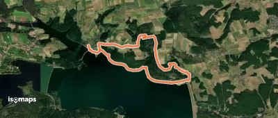

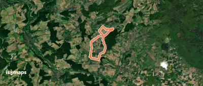
Gmund am Tegernsee, Allemagne
8,07 km +208 m 1h 45min
Facile
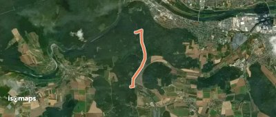
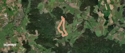
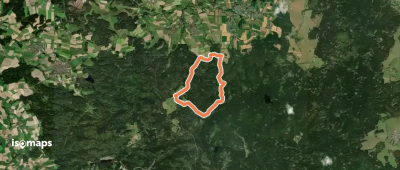
Großberghofen, Allemagne
2,55 km +128 m 40min
Très facile
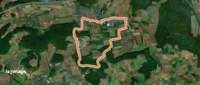


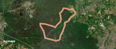
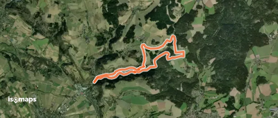
Altglashütte, Allemagne
9,50 km +259 m 2h 10min
Facile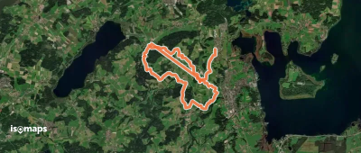
Essayez Iso Maps gratuitement pendant 7 jours. Disponible sur iOS et Android.
