Bayern

4,193 itinéraires dans Bayern. Trouvez votre prochain parcours sur Isomaps — cartes topo, GPS et profil altimétrique.

Lauftour ELT2
Lauftour ELT2

Tretzendorf, Allemagne

18,59 km +519 m 4h 35min

Modéré
Goldsteig N10: Herzogau - Furth im Wald

Herzogau, Allemagne

16,94 km +561 m 4h 15min

Modéré
Ahorn

Petersaurach, Allemagne

17,42 km +235 m 3h 35min

Modéré
Rotsteinweg
Rotsteinweg

Mainroth, Allemagne

10,37 km +297 m 2h 20min

Facile
Libelle
Libelle

Thurndorf, Allemagne

7,19 km +155 m 1h 30min

Très facile
Neunkirchen am Sand Rundwanderweg Rot 1

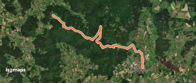
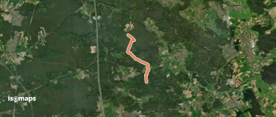
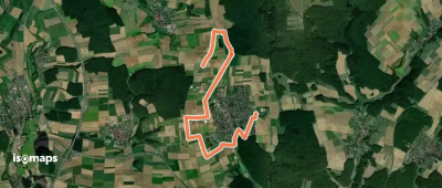
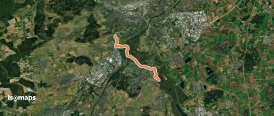
Neunkirchen am Sand, Allemagne

4,23 km +100 m 55min

Très facile
Main-Donau-Weg (Jura-Linie) Teil 1

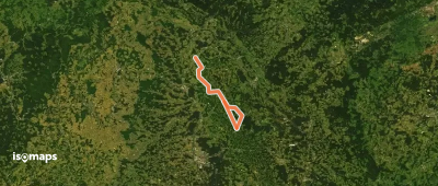
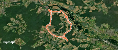
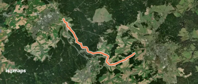
Bad Staffelstein, Allemagne

94,12 km +2 935 m 24h 35min

Très difficile
Nordic Walking Bürgstadt, PP Stutz Nr. 3

Bürgstadt, Allemagne

9,55 km +313 m 2h 15min

Facile
Naturlehrpfad am Kümmelberg

Mannsgereuth, Allemagne

2,49 km +93 m 35min

Très facile
Warmensteinach Rundwanderweg Nr. 4

Warmensteinach, Allemagne

4,68 km +215 m 1h 20min

Très facile
Pyrbaum Wanderweg No.3

Eppersdorf, Allemagne

4,78 km +43 m 55min

Très facile
Rehau - Prexhäuser
Rehau - Prexhäuser

Krásná, Allemagne

10,65 km +136 m 2h 10min

Facile
Innauenweg
Innauenweg

Rott am Inn, Allemagne

7,19 km +81 m 1h 30min

Très facile
Hamicher Bänklesweg
Hamicher Bänklesweg

Hambach, Allemagne

4,61 km +74 m 55min

Très facile
Pfad der Baumgiganten

Stralsbach, Allemagne

2,20 km +85 m 35min

Très facile
Wm18 »Bleschenbergweg«

Bleschenberg, Allemagne

2,54 km +79 m 40min

Très facile
Hirschaid Karpfenweg

Hirschaid, Allemagne

20,91 km +253 m 4h 20min

Difficile
migrationsgeschichtlicher Weg

Erlangen, Allemagne

7,33 km +114 m 1h 35min

Très facile
Erlebnispfad Weg der Wasserkraft

Allmannsdorf, Allemagne

4,16 km +86 m 55min

Très facile
Ulm Lindenhöhe - Wiblingen

Unterkirchberg, Allemagne

6,19 km +136 m 1h 25min

Très facile

Prêt pour votre prochaine sortie ?

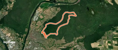
Essayez Iso Maps gratuitement pendant 7 jours. Disponible sur iOS et Android.

Télécharger sur iOS Télécharger sur Android APK (sans Google)