4,193 itinéraires dans Bayern. Trouvez votre prochain parcours sur Isomaps — cartes topo, GPS et profil altimétrique.
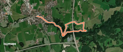

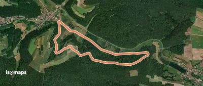
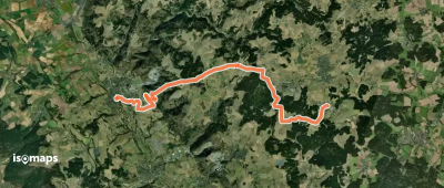
Nindorf, Allemagne
12,85 km +131 m 2h 40min
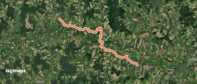
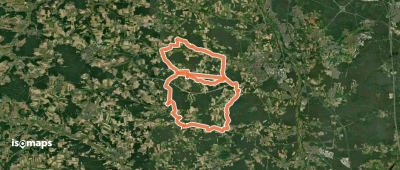
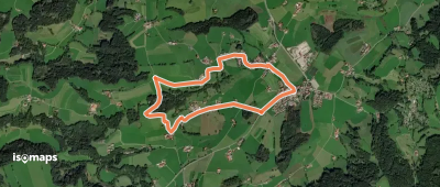
FacileNeustadt an der Aisch, Allemagne
5,13 km +99 m 1h 5min
Très facile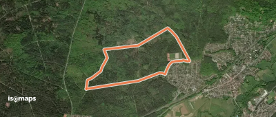

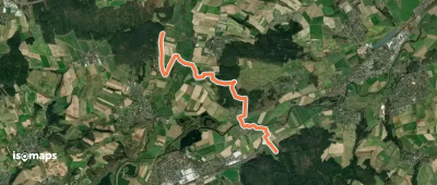
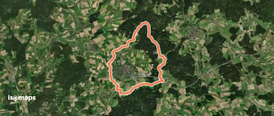
Neubäu, Allemagne
2,92 km +23 m 35min
Très facileKönigsberg in Bayern, Allemagne
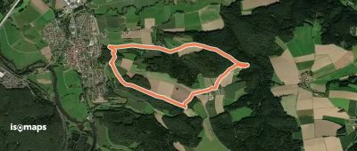
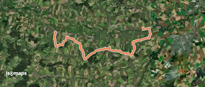
10,09 km +394 m 2h 35min
Facile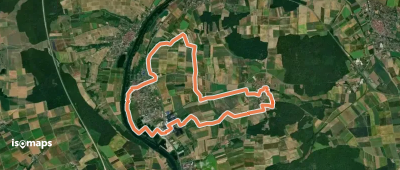
![[Č] Cheb - bývalé Hraničky](https://static-tiles.b-cdn.net/screenshots/screenshot_trace_67017.webp)

Poigham, Allemagne
17,38 km +266 m 3h 35min
Modéré
Essayez Iso Maps gratuitement pendant 7 jours. Disponible sur iOS et Android.
