1,112 itinéraires dans Brandenburg. Trouvez votre prochain parcours sur Isomaps — cartes topo, GPS et profil altimétrique.
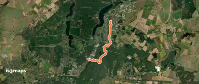
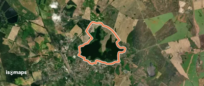
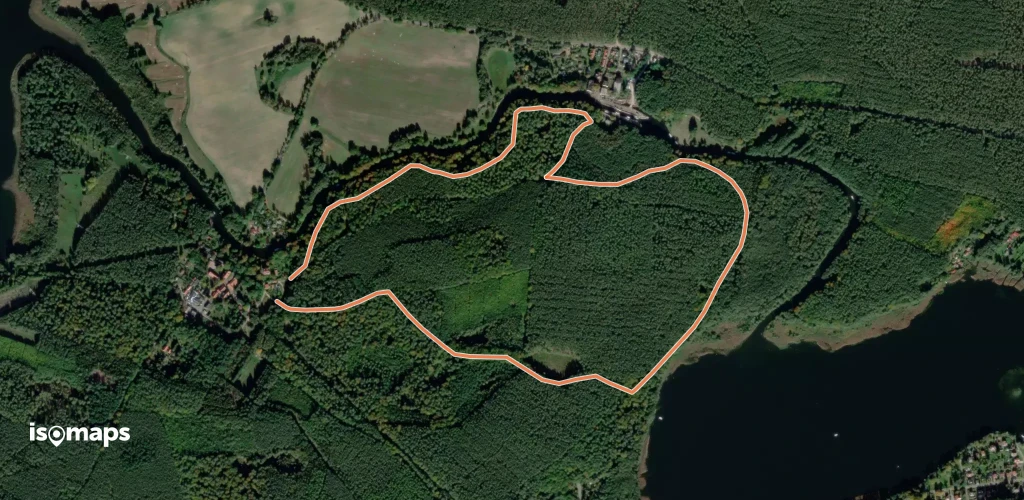
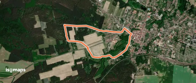
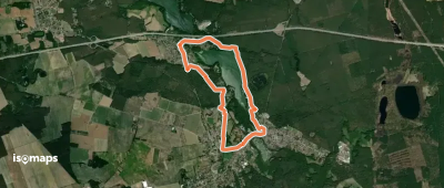
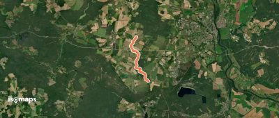
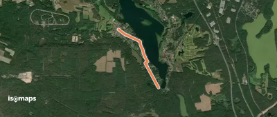
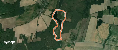

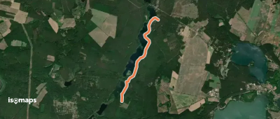
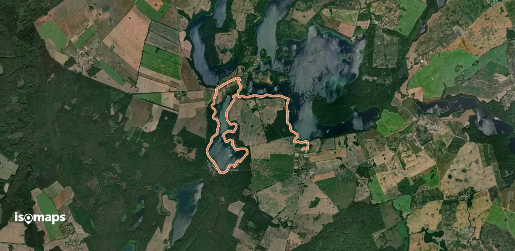
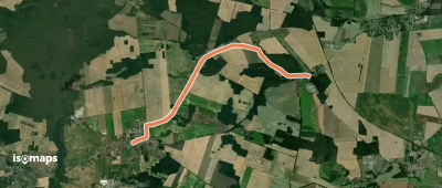
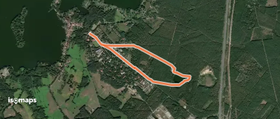
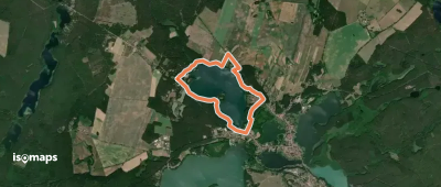
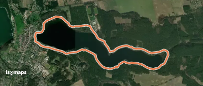
Bungalowsiedlung Carwitzer See, Allemagne
9,53 km +255 m 2h 35min
Facile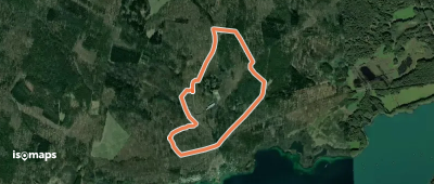
Essayez Isomaps gratuitement pendant 7 jours. Disponible sur iOS et Android.
