Forêt-Noire

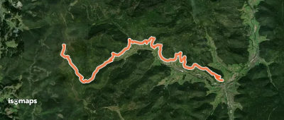
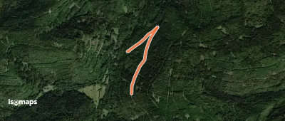
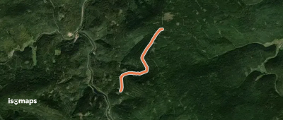
12,704 itinéraires dans Forêt-Noire. Trouvez votre prochain parcours sur Isomaps — cartes topo, GPS et profil altimétrique.
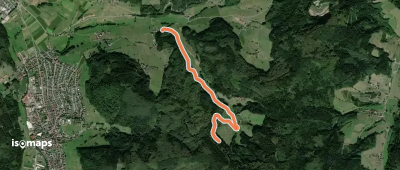
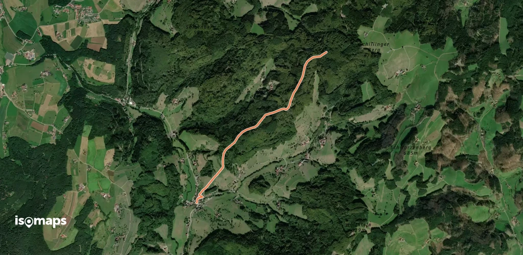
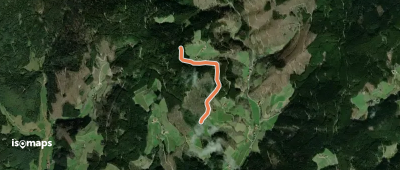
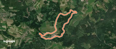
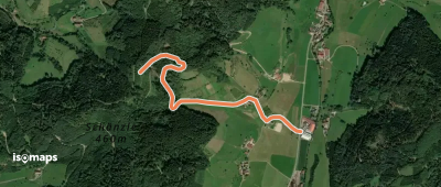
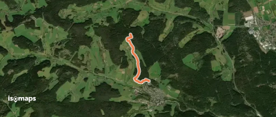
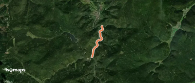
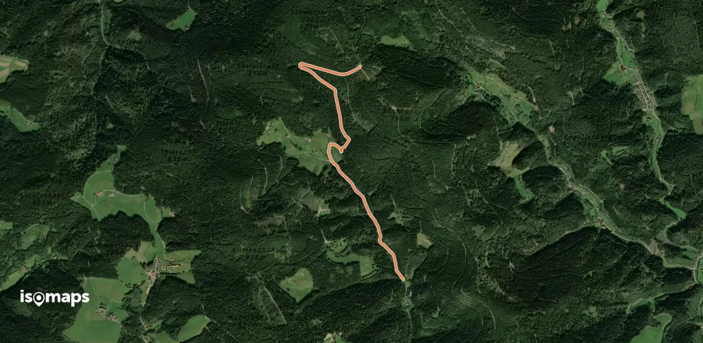
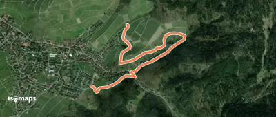
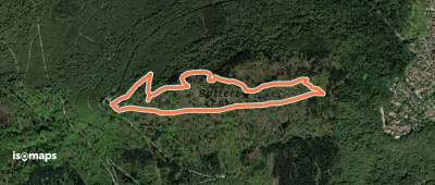
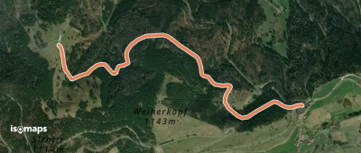
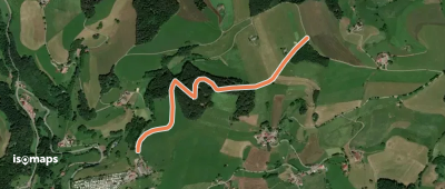
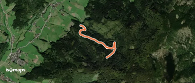
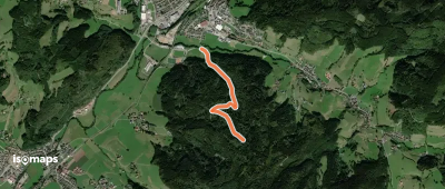
Lenzkirch - Windgfällweiher

Altglashütten, Allemagne

6,91 km +167 m 1h 55min

Très facile
Steig - Ochsenwirts Eiche

Schapbach, Allemagne

1,36 km +174 m 30min

Très facile
Rundweg Bruderkirchle

Vöhrenbach, Allemagne

3,77 km +176 m 1h 0min

Très facile
Siebeneichen - Allmand

Unterreichenbach, Allemagne

1,99 km +109 m 35min

Très facile
Albtal.Abenteuer.Track - Etappe 1

Bad Herrenalb, Allemagne

23,85 km +1 645 m 7h 55min

Très difficile
Hirtenweg
Hirtenweg

Yach, Allemagne

19,96 km +1 258 m 7h 10min

Très difficile
Zinowald - Saumerloch

Hausach, Allemagne

1,59 km +279 m 40min

Très facile
Langenbach - Steinbis

Untertal, Allemagne

2,24 km +258 m 55min

Facile
Königsfeld Freibad - Bildstöckle

Königsfeld im Schwarzwald, Allemagne

2,82 km +54 m 40min

Très facile
Ottenhöfen - Ruhestein

Seebach, Allemagne

7,03 km +711 m 2h 40min

Modéré
Höllkopfwegle - Kienberg

Sankenbachfälle, Allemagne

2,71 km +62 m 40min

Très facile
Ochsenwirts Eiche - Ochsenhütte

Schapbach, Allemagne

1,57 km +257 m 50min

Facile
Schloßberg - Büchenbronn

Pforzheim, Allemagne

2,15 km +157 m 35min

Très facile
Sägwasen - Schindelhardt

Aichelberg, Allemagne

1,95 km +149 m 35min

Très facile
Bösmatte - Lehrscheide

Finsterkapf, Allemagne

2,26 km +87 m 35min

Très facile
Obersimonswald Engel - Unterhalb Sternen

Obertal, Allemagne

2,64 km +197 m 55min

Très facile
Rohrdorf Bachenweg - Walddorf Zu den Linden

Rohrdorf, Allemagne

3,20 km +204 m 50min

Très facile
Mühlefelsenpfad
Mühlefelsenpfad

Münstertal, Black Forest, Allemagne

4,23 km +255 m 1h 35min

Facile
Bildeiche - Zimmerplatz

Wintereckkopf, Allemagne

3,08 km +139 m 1h 0min

Très facile
Soldatenbrunnenhütte - Stellebrunnen

Bad Wildbad, Allemagne

1,52 km +163 m 25min

Très facile

Prêt pour votre prochaine sortie ?

Essayez Iso Maps gratuitement pendant 7 jours. Disponible sur iOS et Android.

Télécharger sur iOS Télécharger sur Android APK (sans Google)