Forêt-Noire

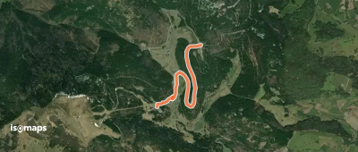
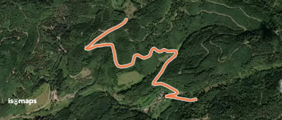
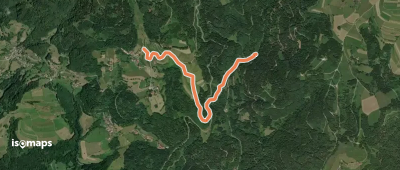
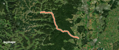
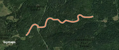
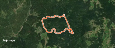
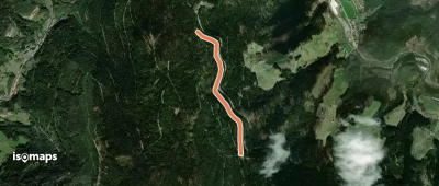
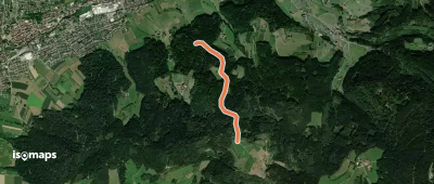
12,704 itinéraires dans Forêt-Noire. Trouvez votre prochain parcours sur Isomaps — cartes topo, GPS et profil altimétrique.

Scheuerklamm - Steinäcker

Oberweier, Allemagne

1,47 km +177 m 30min

Très facile
Wüstmatt - Zeller Blauen

Ober Blauen, Allemagne

1,42 km +186 m 30min

Très facile
Erzbach Ponyhof - Höflewald

Rauhkasten, Allemagne

2,63 km +49 m 45min

Très facile
Obergefäll - Griesbacher Eck

Obereck, Allemagne

2,34 km +66 m 35min

Très facile
Mittelweg (westliche Variante)

Schluchsee, Allemagne

40,07 km +1 269 m 11h 0min

Très difficile
Sagenrundweg Teufelskanzel

Haslach im Kinzigtal, Allemagne

10,01 km +592 m 3h 0min

Facile
Geißschleifsattel - Ramsbacher Holzplatz

Edelmannskopf, Allemagne

3,20 km +128 m 50min

Très facile
Hänslisbühl - Holzgrundbach

Wittenbach, Allemagne

3,21 km +202 m 1h 10min

Très facile
Ibichkopf - Gummeneck

Schultiskopf, Allemagne

3,64 km +98 m 1h 30min

Très facile
Hörnle - Stühle
Hörnle - Stühle

Hohe Stückbäume, Allemagne

1,40 km +193 m 30min

Très facile
Gäbelesbuckel - Bömbachsee

Pfalzgrafenweiler, Allemagne

2,66 km +63 m 35min

Très facile
Pfaffenkähner - Vulkanweg

Haslach im Kinzigtal, Allemagne

1,72 km +131 m 30min

Très facile
Franzosenbuckel - Sägberg

Höfen an der Enz, Allemagne

1,23 km +184 m 30min

Très facile
Fußbühl - Jehlebasche

Übelbach, Allemagne

1,66 km +164 m 35min

Très facile
Beuren Langer Berg - Überberger Kirchweg

Beuren, Allemagne

4,33 km +216 m 1h 10min

Très facile
Muttertal - Neusatzer Pfütze

Dobel, Allemagne

3,68 km +42 m 45min

Très facile
Hinterweiden - Vorderer Ettenbühl

Wittlensweiler, Allemagne

2,06 km +110 m 30min

Très facile
Brandenbrückle - Wittmättle

Tegernau, Allemagne

1,62 km +176 m 35min

Très facile
Gieseneck - Buchenwald

Unterharmersbach, Allemagne

1,66 km +146 m 30min

Très facile
Guttahütte am Rebmesserstein - Rauhkasten

Steinfirst, Allemagne

2,93 km +160 m 45min

Très facile

Prêt pour votre prochaine sortie ?

Essayez Iso Maps gratuitement pendant 7 jours. Disponible sur iOS et Android.

Télécharger sur iOS Télécharger sur Android APK (sans Google)