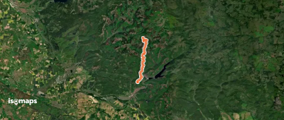
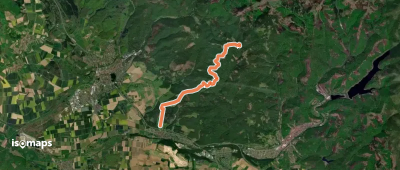
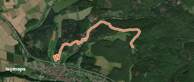
694 itinéraires dans Harz. Trouvez votre prochain parcours sur Isomaps — cartes topo, GPS et profil altimétrique.
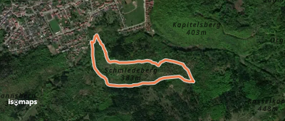
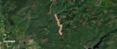
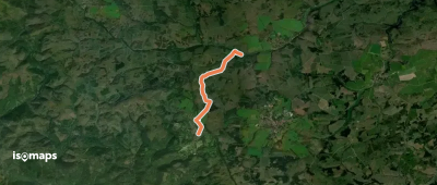
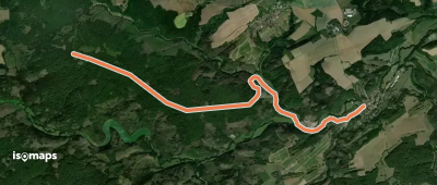
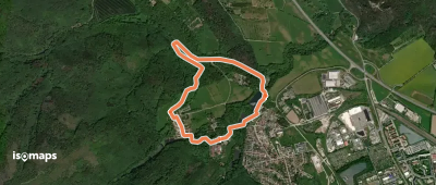

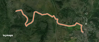
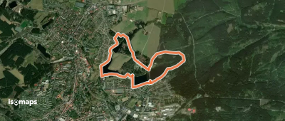
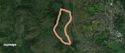
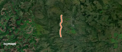
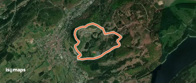
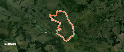
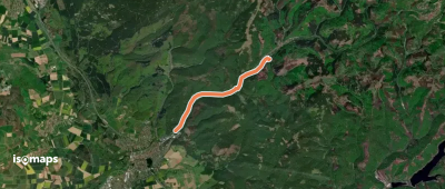
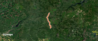
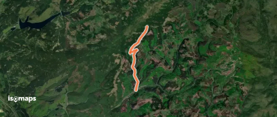
Clausthal-Zellerfeld, Allemagne
4,27 km +133 m 2h 15min
Très facile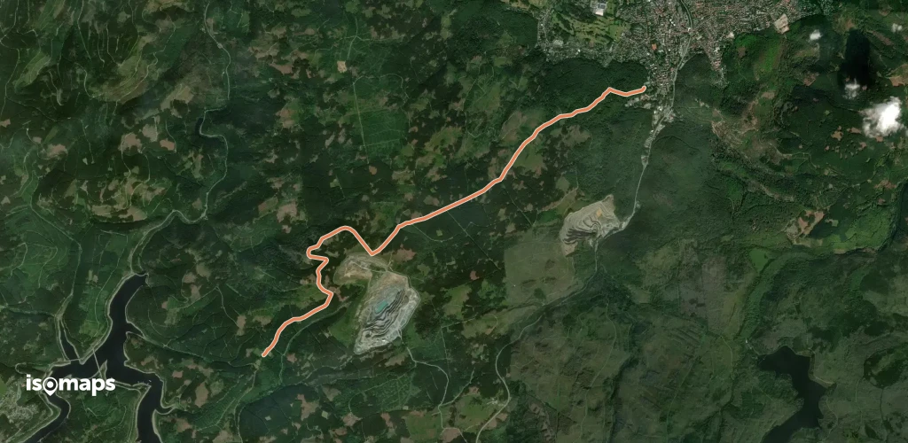
Essayez Isomaps gratuitement pendant 7 jours. Disponible sur iOS et Android.
