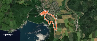
2,754 itinéraires dans Hessen. Trouvez votre prochain parcours sur Isomaps — cartes topo, GPS et profil altimétrique.

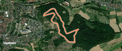
Groß-Umstadt, Allemagne
2,54 km +80 m 40min
Très facile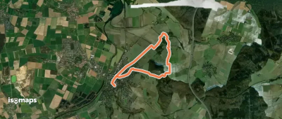
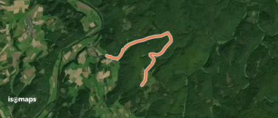
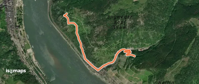
Biedenkopf, Allemagne
16,93 km +723 m 4h 40min
Modéré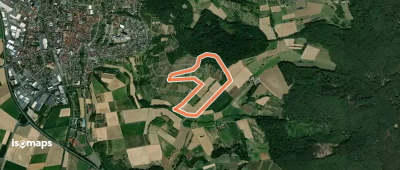
Groß-Umstadt, Allemagne
2,85 km +94 m 40min
Très facile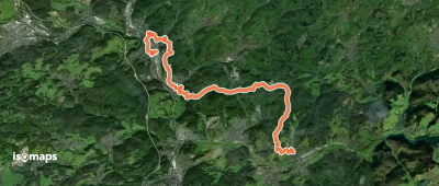
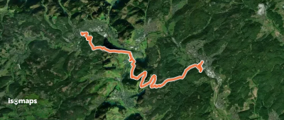
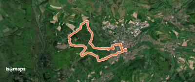
Mittenaar, Allemagne
16,29 km +657 m 4h 50min
Modéré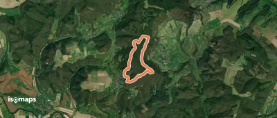
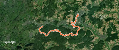
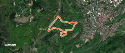
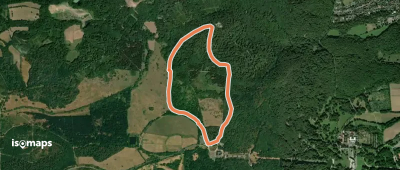
Bad Endbach, Allemagne
17,76 km +720 m 4h 40min
Modéré


Essayez Isomaps gratuitement pendant 7 jours. Disponible sur iOS et Android.
