2,754 itinéraires dans Hessen. Trouvez votre prochain parcours sur Isomaps — cartes topo, GPS et profil altimétrique.


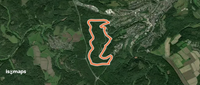
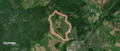
![[G6] - Rundweg Gladenbach - Mittlerer Hainweg - MGV Hütte - Sportzentrum - Kehlnbachtal - Gladenbach](https://static-tiles.b-cdn.net/screenshots/screenshot_trace_39307.webp)
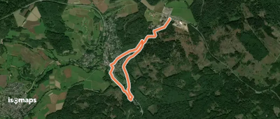
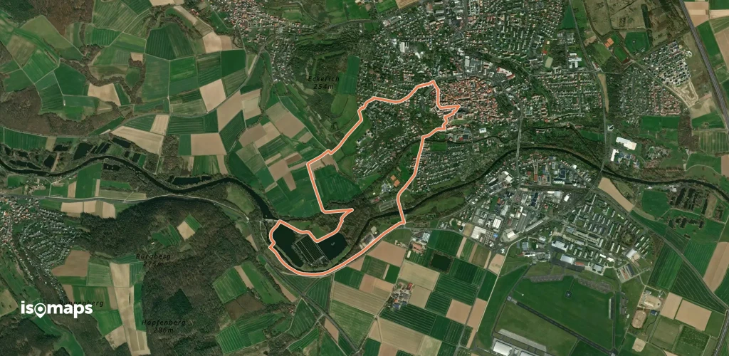
Gladenbach, Allemagne
2,66 km +105 m 50min
Très facile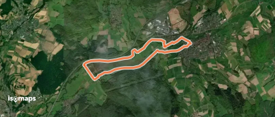


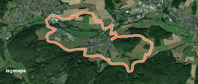
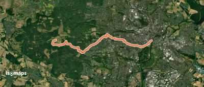
Friedrichsfeld, Allemagne
14,54 km +465 m 3h 35min
Facile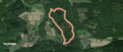
Essayez Isomaps gratuitement pendant 7 jours. Disponible sur iOS et Android.
