6,248 itinéraires dans Nordrhein-Westfalen. Trouvez votre prochain parcours sur Isomaps — cartes topo, GPS et profil altimétrique.
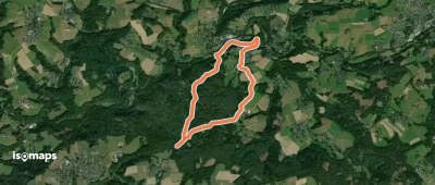

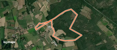
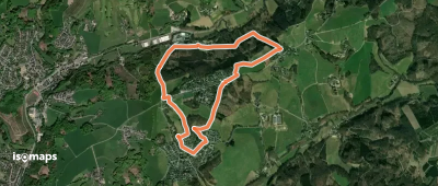
Hagen, Allemagne
32,76 km +1 572 m 9h 40min
Très difficile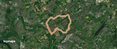
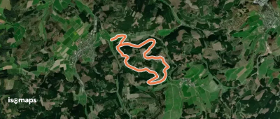
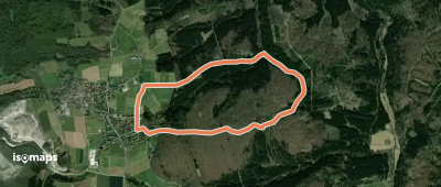
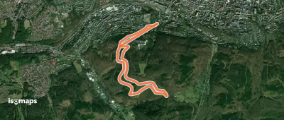
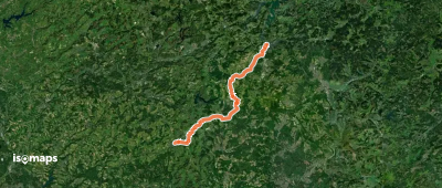
![Winterberg- Hesborn [O]](https://static-tiles.b-cdn.net/screenshots/screenshot_trace_261035.webp)
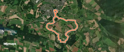
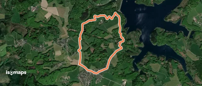
Olpe, Allemagne
35,08 km +1 060 m 8h 20min
Très difficileEssayez Iso Maps gratuitement pendant 7 jours. Disponible sur iOS et Android.
